Distance to Aberdeen, Florida

Calculating Your Route
Just a moment while we process your request...
Location Information
-
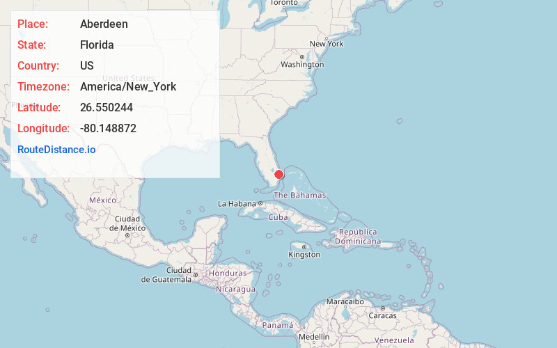
Full AddressAberdeen, FL 33472
-
Coordinates26.550244, -80.148872
-
LocationAberdeen , Florida , US
-
TimezoneAmerica/New_York
-
Current Local Time5:19:16 AM America/New_YorkTuesday, June 17, 2025
-
Page Views0
About Aberdeen
Aberdeen was a former census-designated place and current unincorporated place in Palm Beach County, Florida. The population was 2,672 at the 1990 census. It now serves as a neighborhood in the vast swathe of undifferentiated suburbia that is west of Boynton Beach, Florida.


Nearby Places
Found 10 places within 50 miles

Boynton Beach
3.8 mi
6.1 km
Boynton Beach, FL
Get directions

Atlantis
4.1 mi
6.6 km
Atlantis, FL
Get directions

Golf
4.2 mi
6.8 km
Golf, FL 33436
Get directions

Greenacres
5.4 mi
8.7 km
Greenacres, FL
Get directions
San Castle
5.5 mi
8.9 km
San Castle, FL 33462
Get directions

Hypoluxo
6.0 mi
9.7 km
Hypoluxo, FL 33462
Get directions

Ocean Ridge
6.4 mi
10.3 km
Ocean Ridge, FL 33435
Get directions

Lantana
6.5 mi
10.5 km
Lantana, FL
Get directions

Manalapan
6.6 mi
10.6 km
Manalapan, FL
Get directions
Briny Breezes
6.7 mi
10.8 km
Briny Breezes, FL 33435
Get directions
Location Links
Local Weather
Weather Information
Coming soon!
Location Map
Static map view of Aberdeen, Florida
Browse Places by Distance
Places within specific distances from Aberdeen
Short Distances
Long Distances
Click any distance to see all places within that range from Aberdeen. Distances shown in miles (1 mile ≈ 1.61 kilometers).