Distance to Acup, West Virginia

Calculating Your Route
Just a moment while we process your request...
Location Information
-
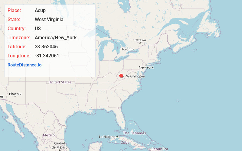
Full AddressAcup, WV 25045
-
Coordinates38.3620455, -81.3420605
-
LocationAcup , West Virginia , US
-
TimezoneAmerica/New_York
-
Current Local Time12:43:45 AM America/New_YorkWednesday, June 18, 2025
-
Page Views0
About Acup
Acup was an unincorporated community in Kanawha County, West Virginia, United States. Acme was located along Blue Creek. The community was a camp of the Middle Fork Block Coal Company, which operated in the early 20th century. The post office at Acup was also known as Firmwood Park and Middle Fork.
Nearby Places
Found 10 places within 50 miles

Hitop
6.0 mi
9.7 km
Hitop, WV 25160
Get directions
Queen Shoals
8.2 mi
13.2 km
Queen Shoals, WV 25045
Get directions

Pinch
8.2 mi
13.2 km
Pinch, WV 25071
Get directions

Clendenin
8.8 mi
14.2 km
Clendenin, WV
Get directions

Elkview
8.8 mi
14.2 km
Elkview, WV 25071
Get directions
Shelton
9.3 mi
15.0 km
Shelton, WV 25030
Get directions

Coal Fork
10.2 mi
16.4 km
Coal Fork, WV 25306
Get directions
Mt Olive
10.4 mi
16.7 km
Mt Olive, WV 25059
Get directions

Pratt
10.7 mi
17.2 km
Pratt, WV
Get directions

Cedar Grove
10.8 mi
17.4 km
Cedar Grove, WV
Get directions
Location Links
Local Weather
Weather Information
Coming soon!
Location Map
Static map view of Acup, West Virginia
Browse Places by Distance
Places within specific distances from Acup
Short Distances
Long Distances
Click any distance to see all places within that range from Acup. Distances shown in miles (1 mile ≈ 1.61 kilometers).