Distance to and from Ada, Alabama
Ada, Ramer, AL 36069
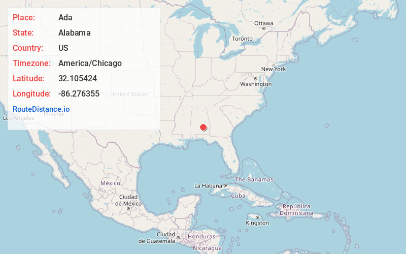
Ramer
Alabama
US
America/Chicago
Location Information
-
Full AddressAda, Ramer, AL 36069
-
Coordinates32.1054237, -86.2763547
-
NeighborhoodAda
-
LocationRamer , Alabama , US
-
TimezoneAmerica/Chicago
-
Current Local Time1:04:34 PM America/ChicagoSaturday, May 3, 2025
-
Page Views0
Directions to Nearest Cities
About Ada
Ada is an unincorporated community in Montgomery County, Alabama, United States. Ada is located at the intersection of U.S. Route 331 and Alabama State Route 94, 20 miles south of Montgomery.
Nearby Places
Found 10 places within 50 miles

Robinson Crossroads
4.2 mi
6.8 km
Robinson Crossroads, AL 36105
Get directions

Ramer
5.0 mi
8.0 km
Ramer, AL 36069
Get directions
Naftel
6.7 mi
10.8 km
Naftel, AL 36036
Get directions
Tharin
6.9 mi
11.1 km
Tharin, AL 36105
Get directions

Pike Rd
14.0 mi
22.5 km
Pike Rd, AL
Get directions
Garnersville
15.8 mi
25.4 km
Garnersville, AL 36041
Get directions
Ansley
17.8 mi
28.6 km
Ansley, AL 36079
Get directions

Petrey
18.2 mi
29.3 km
Petrey, AL 36049
Get directions
Hayneville
18.6 mi
29.9 km
Hayneville, AL 36040
Get directions

Montgomery
19.0 mi
30.6 km
Montgomery, AL
Get directions
Robinson Crossroads
4.2 mi
6.8 km
Robinson Crossroads, AL 36105
Ramer
5.0 mi
8.0 km
Ramer, AL 36069
Naftel
6.7 mi
10.8 km
Naftel, AL 36036
Tharin
6.9 mi
11.1 km
Tharin, AL 36105
Pike Rd
14.0 mi
22.5 km
Pike Rd, AL
Garnersville
15.8 mi
25.4 km
Garnersville, AL 36041
Ansley
17.8 mi
28.6 km
Ansley, AL 36079
Petrey
18.2 mi
29.3 km
Petrey, AL 36049
Hayneville
18.6 mi
29.9 km
Hayneville, AL 36040
Montgomery
19.0 mi
30.6 km
Montgomery, AL
Location Links
Local Weather
Weather Information
Coming soon!
Location Map
Static map view of Ada, Alabama
Browse Places by Distance
Places within specific distances from Ada
Short Distances
Long Distances
Click any distance to see all places within that range from Ada. Distances shown in miles (1 mile ≈ 1.61 kilometers).