Distance to Adelaide, Colorado

Calculating Your Route
Just a moment while we process your request...
Location Information
-
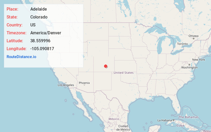
Full AddressAdelaide, CO 81212
-
Coordinates38.5599955, -105.0908167
-
LocationAdelaide , Colorado , US
-
TimezoneAmerica/Denver
-
Current Local Time1:55:37 AM America/DenverWednesday, June 18, 2025
-
Page Views1
About Adelaide
Adelaide is an extinct town located in Fremont County, Colorado, United States. The townsite is located at 38.5600°N 105.0908°W at an elevation of 6,949 feet. Previously known as Robinson, the former mining camp and railroad water is located along the Phantom Canyon Road.
Nearby Places
Found 10 places within 50 miles

Park Center Lateral
8.5 mi
13.7 km
Park Center Lateral, Colorado 81212
Get directions
Orchard Park
9.6 mi
15.4 km
Orchard Park, Park Center, CO 81212
Get directions
Marigold
9.9 mi
15.9 km
Marigold, CO 81212
Get directions

Penrose
10.0 mi
16.1 km
Penrose, CO 81240
Get directions
Hollywood
10.6 mi
17.1 km
Hollywood, CO 81212
Get directions

Victor
10.7 mi
17.2 km
Victor, CO
Get directions

Goldfield
11.1 mi
17.9 km
Goldfield, CO 80813
Get directions
Brookside
11.4 mi
18.3 km
Brookside, CO 81212
Get directions

Florence
11.8 mi
19.0 km
Florence, CO
Get directions
Beacon Hill
11.9 mi
19.2 km
Beacon Hill, CO 80813
Get directions
Location Links
Local Weather
Weather Information
Coming soon!
Location Map
Static map view of Adelaide, Colorado
Browse Places by Distance
Places within specific distances from Adelaide
Short Distances
Long Distances
Click any distance to see all places within that range from Adelaide. Distances shown in miles (1 mile ≈ 1.61 kilometers).