Distance to Afredton, Virginia

Calculating Your Route
Just a moment while we process your request...
Location Information
-
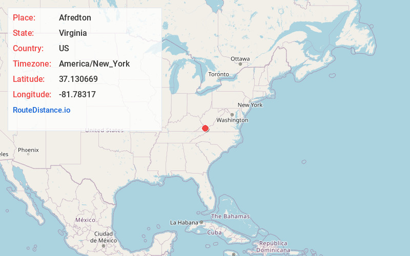
Full AddressAfredton, VA 24641
-
Coordinates37.1306692, -81.7831702
-
LocationAfredton , Virginia , US
-
TimezoneAmerica/New_York
-
Current Local Time12:06:11 AM America/New_YorkWednesday, June 18, 2025
-
Page Views0
Nearby Places
Found 10 places within 50 miles

Seaboard
0.7 mi
1.1 km
Seaboard, VA 24641
Get directions

Richlands
2.7 mi
4.3 km
Richlands, VA
Get directions

Cedar Bluff
3.3 mi
5.3 km
Cedar Bluff, VA
Get directions
Doran
3.7 mi
6.0 km
Doran, VA 24641
Get directions
Jewell Ridge
3.8 mi
6.1 km
Jewell Ridge, VA 24622
Get directions
Mouth of Laurel
4.0 mi
6.4 km
Mouth of Laurel, VA 24609
Get directions
Birmingham
4.4 mi
7.1 km
Birmingham, Richlands, VA 24609
Get directions
Bandy
4.6 mi
7.4 km
Bandy, VA 24602
Get directions

Raven
5.0 mi
8.0 km
Raven, VA
Get directions

Claypool Hill
5.0 mi
8.0 km
Claypool Hill, VA
Get directions
Location Links
Local Weather
Weather Information
Coming soon!
Location Map
Static map view of Afredton, Virginia
Browse Places by Distance
Places within specific distances from Afredton
Short Distances
Long Distances
Click any distance to see all places within that range from Afredton. Distances shown in miles (1 mile ≈ 1.61 kilometers).