Distance to Seaboard, Virginia

Calculating Your Route
Just a moment while we process your request...
Location Information
-
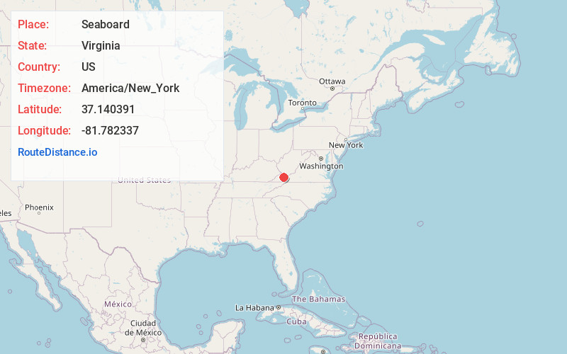
Full AddressSeaboard, VA 24641
-
Coordinates37.1403913, -81.7823365
-
LocationVirginia , US
-
TimezoneAmerica/New_York
-
Current Local Time1:47:33 PM America/New_YorkTuesday, July 1, 2025
-
Page Views0
About Seaboard
Seaboard is an unincorporated community and coal town located in Tazewell County, Virginia, United States. It has also been known as Big Creek.
Nearby Places
Found 10 places within 50 miles

Jewell Ridge
3.1 mi
5.0 km
Jewell Ridge, VA 24622
Get directions

Richlands
3.3 mi
5.3 km
Richlands, VA
Get directions

Cedar Bluff
3.9 mi
6.3 km
Cedar Bluff, VA
Get directions
Doran
4.2 mi
6.8 km
Doran, VA 24641
Get directions
Bandy
4.5 mi
7.2 km
Bandy, VA 24602
Get directions
Birmingham
5.0 mi
8.0 km
Birmingham, Richlands, VA 24609
Get directions
Shortt Gap
5.1 mi
8.2 km
Shortt Gap, VA 24639
Get directions

Raven
5.4 mi
8.7 km
Raven, VA
Get directions

Claypool Hill
5.6 mi
9.0 km
Claypool Hill, VA
Get directions

Pounding Mill
6.1 mi
9.8 km
Pounding Mill, VA 24637
Get directions
Location Links
Local Weather
Weather Information
Coming soon!
Location Map
Static map view of Seaboard, Virginia
Browse Places by Distance
Places within specific distances from Seaboard
Short Distances
Long Distances
Click any distance to see all places within that range from Seaboard. Distances shown in miles (1 mile ≈ 1.61 kilometers).