Distance to Shortt Gap, Virginia

Calculating Your Route
Just a moment while we process your request...
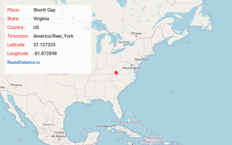
Location Information
-
Full AddressShortt Gap, VA 24639
-
Coordinates37.1573347, -81.8728976
-
LocationShortt Gap , Virginia , US
-
TimezoneAmerica/New_York
-
Current Local Time8:32:13 AM America/New_YorkMonday, June 2, 2025
-
Page Views0
About Shortt Gap
Shortt Gap is an unincorporated community in Buchanan County, Virginia, United States. Shortt Gap is located along U.S. Route 460, northwest of Richlands. Shortt Gap has a post office with ZIP code 24647.
Nearby Places
Found 10 places within 50 miles

Grimsleyville
1.8 mi
2.9 km
Grimsleyville, VA 24639
Get directions
Doran
4.8 mi
7.7 km
Doran, VA 24641
Get directions

Raven
5.0 mi
8.0 km
Raven, VA
Get directions
Jewell Ridge
5.0 mi
8.0 km
Jewell Ridge, VA 24622
Get directions
Whitewood
5.5 mi
8.9 km
Whitewood, VA 24657
Get directions

Richlands
6.2 mi
10.0 km
Richlands, VA
Get directions
Birmingham
6.7 mi
10.8 km
Birmingham, Richlands, VA 24609
Get directions
Jewell Valley
7.4 mi
11.9 km
Jewell Valley, VA 24622
Get directions
Skeggs
7.8 mi
12.6 km
Skeggs, VA 24631
Get directions

Cedar Bluff
7.9 mi
12.7 km
Cedar Bluff, VA
Get directions
Location Links
Local Weather
Weather Information
Coming soon!
Location Map
Static map view of Shortt Gap, Virginia
Browse Places by Distance
Places within specific distances from Shortt Gap
Short Distances
Long Distances
Click any distance to see all places within that range from Shortt Gap. Distances shown in miles (1 mile ≈ 1.61 kilometers).