Distance to Agate, Utah

Calculating Your Route
Just a moment while we process your request...
Location Information
-
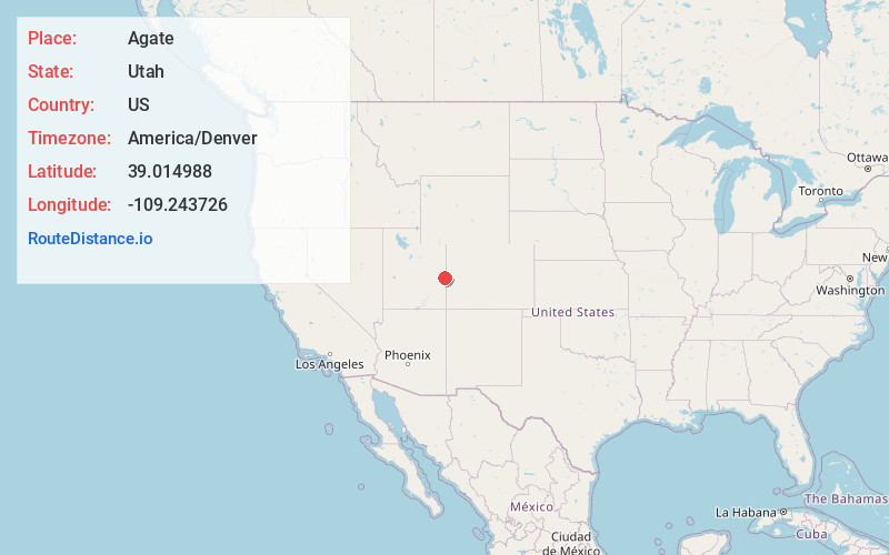
Full AddressAgate, UT
-
Coordinates39.014988, -109.2437259
-
LocationAgate , Utah , US
-
TimezoneAmerica/Denver
-
Current Local Time4:26:11 PM America/DenverWednesday, July 2, 2025
-
Page Views0
Nearby Places
Found 10 places within 50 miles

Cisco
5.2 mi
8.4 km
Cisco, UT 84540
Get directions

Westwater
8.3 mi
13.4 km
Westwater, UT 84515
Get directions

Utaline
13.3 mi
21.4 km
Utaline, CO 81525
Get directions
Elba
14.8 mi
23.8 km
Elba, UT 84540
Get directions
Vista
23.6 mi
38.0 km
Vista, UT 84540
Get directions

Mack
24.9 mi
40.1 km
Mack, CO 81525
Get directions

Thompson Springs
25.4 mi
40.9 km
Thompson Springs, UT 84540
Get directions

Loma
26.3 mi
42.3 km
Loma, CO 81524
Get directions
Gilsonite
27.3 mi
43.9 km
Gilsonite, CO 81524
Get directions

Castle Valley
27.4 mi
44.1 km
Castle Valley, UT 84532
Get directions
Location Links
Local Weather
Weather Information
Coming soon!
Location Map
Static map view of Agate, Utah
Browse Places by Distance
Places within specific distances from Agate
Short Distances
Long Distances
Click any distance to see all places within that range from Agate. Distances shown in miles (1 mile ≈ 1.61 kilometers).