Distance to Agra, Kansas

Calculating Your Route
Just a moment while we process your request...
Location Information
-
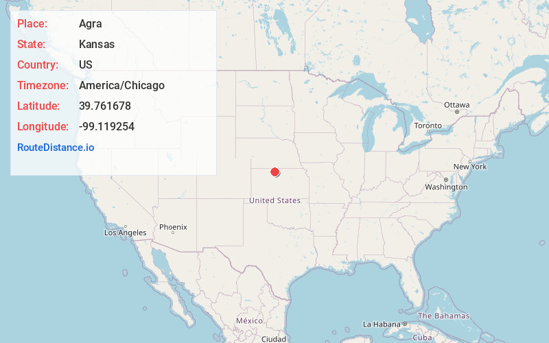
Full AddressAgra, KS 67621
-
Coordinates39.7616776, -99.1192544
-
LocationAgra , Kansas , US
-
TimezoneAmerica/Chicago
-
Current Local Time11:45:07 AM America/ChicagoThursday, July 3, 2025
-
Page Views0
About Agra
Agra is a city in Phillips County, Kansas, United States. As of the 2020 census, the population of the city was 208.
Nearby Places
Found 10 places within 50 miles

Kensington
4.7 mi
7.6 km
Kensington, KS 66951
Get directions

Phillipsburg
10.9 mi
17.5 km
Phillipsburg, KS 67661
Get directions
Smith Center
17.8 mi
28.6 km
Smith Center, KS 66967
Get directions

Stockton
23.7 mi
38.1 km
Stockton, KS 67669
Get directions

Franklin
24.7 mi
39.8 km
Franklin, NE 68939
Get directions
Logan
25.0 mi
40.2 km
Logan, KS 67646
Get directions

Alma
26.5 mi
42.6 km
Alma, NE 68920
Get directions
Orleans
31.1 mi
50.1 km
Orleans, NE 68966
Get directions

Osborne
31.8 mi
51.2 km
Osborne, KS 67473
Get directions
Almena
32.5 mi
52.3 km
Almena, KS 67622
Get directions
Location Links
Local Weather
Weather Information
Coming soon!
Location Map
Static map view of Agra, Kansas
Browse Places by Distance
Places within specific distances from Agra
Short Distances
Long Distances
Click any distance to see all places within that range from Agra. Distances shown in miles (1 mile ≈ 1.61 kilometers).