Distance to and from Airpoint, Virginia
Airpoint, VA 24059
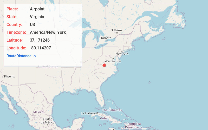
Airpoint
Virginia
US
America/New_York
Location Information
-
Full AddressAirpoint, VA 24059
-
Coordinates37.1712464, -80.1142065
-
LocationAirpoint , Virginia , US
-
TimezoneAmerica/New_York
-
Current Local Time11:04:21 AM America/New_YorkSaturday, May 3, 2025
-
Page Views0
Directions to Nearest Cities
Nearby Places
Found 10 places within 50 miles

Bent Mountain
2.1 mi
3.4 km
Bent Mountain, VA 24059
Get directions

Poages Mill
3.7 mi
6.0 km
Poages Mill, VA 24019
Get directions
Naff
5.8 mi
9.3 km
Naff, VA 24065
Get directions
Copper Hill
6.3 mi
10.1 km
Copper Hill, VA 24079
Get directions

Cave Spring
6.8 mi
10.9 km
Cave Spring, VA 24018
Get directions

Lafayette
6.9 mi
11.1 km
Lafayette, VA 24087
Get directions

Elliston
7.1 mi
11.4 km
Elliston, VA 24087
Get directions
Glenvar
7.2 mi
11.6 km
Glenvar, VA 24153
Get directions
Wright
7.7 mi
12.4 km
Wright, VA 24065
Get directions

Shawsville
7.8 mi
12.6 km
Shawsville, VA
Get directions
Bent Mountain
2.1 mi
3.4 km
Bent Mountain, VA 24059
Poages Mill
3.7 mi
6.0 km
Poages Mill, VA 24019
Naff
5.8 mi
9.3 km
Naff, VA 24065
Copper Hill
6.3 mi
10.1 km
Copper Hill, VA 24079
Cave Spring
6.8 mi
10.9 km
Cave Spring, VA 24018
Lafayette
6.9 mi
11.1 km
Lafayette, VA 24087
Elliston
7.1 mi
11.4 km
Elliston, VA 24087
Glenvar
7.2 mi
11.6 km
Glenvar, VA 24153
Wright
7.7 mi
12.4 km
Wright, VA 24065
Shawsville
7.8 mi
12.6 km
Shawsville, VA
Location Links
Local Weather
Weather Information
Coming soon!
Location Map
Static map view of Airpoint, Virginia
Browse Places by Distance
Places within specific distances from Airpoint
Short Distances
Long Distances
Click any distance to see all places within that range from Airpoint. Distances shown in miles (1 mile ≈ 1.61 kilometers).