Distance to Alapaha, Georgia

Calculating Your Route
Just a moment while we process your request...
Location Information
-
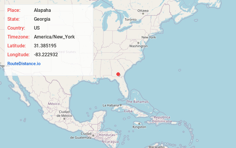
Full AddressAlapaha, GA 31622
-
Coordinates31.3851954, -83.2229323
-
LocationAlapaha , Georgia , US
-
TimezoneAmerica/New_York
-
Current Local Time5:31:31 AM America/New_YorkWednesday, June 18, 2025
-
Page Views0
About Alapaha
Alapaha is a town in Berrien County, Georgia, United States, along the Alapaha River. As of the 2020 census, the city had a population of 481.
Alapaha developed from a trade settlement on the site of a Seminole village with the same name.

Nearby Places
Found 10 places within 50 miles

Enigma
6.5 mi
10.5 km
Enigma, GA 31749
Get directions

Willacoochee
10.9 mi
17.5 km
Willacoochee, GA
Get directions

Nashville
12.4 mi
20.0 km
Nashville, GA 31639
Get directions

Ocilla
14.5 mi
23.3 km
Ocilla, GA 31774
Get directions

Lenox
16.3 mi
26.2 km
Lenox, GA 31637
Get directions
Unionville
17.3 mi
27.8 km
Unionville, GA 31794
Get directions

Tifton
17.6 mi
28.3 km
Tifton, GA
Get directions
Sparks
19.7 mi
31.7 km
Sparks, GA
Get directions

Adel
20.8 mi
33.5 km
Adel, GA 31620
Get directions
Ray City
21.5 mi
34.6 km
Ray City, GA 31645
Get directions
Location Links
Local Weather
Weather Information
Coming soon!
Location Map
Static map view of Alapaha, Georgia
Browse Places by Distance
Places within specific distances from Alapaha
Short Distances
Long Distances
Click any distance to see all places within that range from Alapaha. Distances shown in miles (1 mile ≈ 1.61 kilometers).