Distance to Alba, Texas

Calculating Your Route
Just a moment while we process your request...
Location Information
-
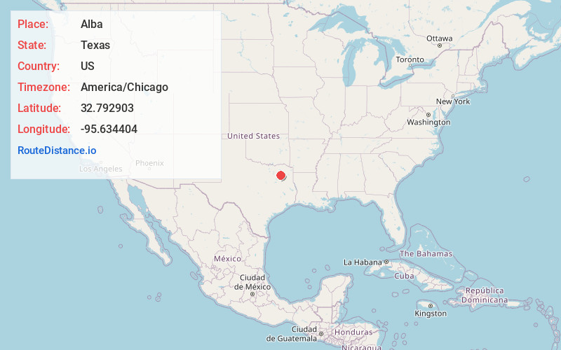
Full AddressAlba, TX 75410
-
Coordinates32.7929034, -95.6344036
-
LocationAlba , Texas , US
-
TimezoneAmerica/Chicago
-
Current Local Time10:27:02 PM America/ChicagoSaturday, June 21, 2025
-
Page Views0
About Alba
Alba is a town located at the intersection of U.S. Highway 69 and Farm To Market Road 17 on the western edge of Wood County, Texas, United States, south of Lake Fork and approximately ten miles west of Quitman. The population was 473 in the 2020 U.S. Census.


Nearby Places
Found 10 places within 50 miles

Sand Springs Lake
9.1 mi
14.6 km
Sand Springs Lake, Texas 75773
Get directions

Grand Saline
9.3 mi
15.0 km
Grand Saline, TX 75140
Get directions

Emory
9.5 mi
15.3 km
Emory, TX 75440
Get directions

Quitman
10.7 mi
17.2 km
Quitman, TX 75783
Get directions

Mineola
12.3 mi
19.8 km
Mineola, TX 75773
Get directions

Edgewood
16.0 mi
25.7 km
Edgewood, TX 75117
Get directions

Point
16.8 mi
27.0 km
Point, TX 75472
Get directions

Van
18.5 mi
29.8 km
Van, TX 75790
Get directions
East Tawakoni
20.6 mi
33.2 km
East Tawakoni, TX 75472
Get directions

Como
20.8 mi
33.5 km
Como, TX 75431
Get directions
Location Links
Local Weather
Weather Information
Coming soon!
Location Map
Static map view of Alba, Texas
Browse Places by Distance
Places within specific distances from Alba
Short Distances
Long Distances
Click any distance to see all places within that range from Alba. Distances shown in miles (1 mile ≈ 1.61 kilometers).