Distance to Albany, Oklahoma

Calculating Your Route
Just a moment while we process your request...
Location Information
-
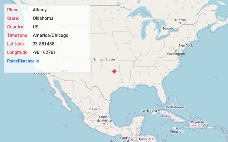
Full AddressAlbany, OK 74726
-
Coordinates33.8814878, -96.1627607
-
LocationAlbany , Oklahoma , US
-
TimezoneAmerica/Chicago
-
Current Local Time4:20:54 AM America/ChicagoWednesday, June 18, 2025
-
Page Views0
About Albany
Albany is a census-designated place and unincorporated community located in Bryan County, Oklahoma, United States, on State Highway 70E. The post office opened July 10, 1894. The community was named for Albany, New York. The population is 118 from the 2020 census, a decrease from 143 in 2010. The area code is 580.

Nearby Places
Found 10 places within 50 miles

Bokchito
9.5 mi
15.3 km
Bokchito, OK 74726
Get directions

Bennington
11.1 mi
17.9 km
Bennington, OK 74723
Get directions
Achille
13.3 mi
21.4 km
Achille, OK
Get directions
Kemp
13.4 mi
21.6 km
Kemp, OK 74741
Get directions

Ravenna
15.1 mi
24.3 km
Ravenna, TX 75476
Get directions

Durant
15.5 mi
24.9 km
Durant, OK
Get directions

Calera
15.7 mi
25.3 km
Calera, OK 74730
Get directions

Armstrong
15.7 mi
25.3 km
Armstrong, OK 74701
Get directions

Caddo
17.9 mi
28.8 km
Caddo, OK 74729
Get directions

Colbert
19.6 mi
31.5 km
Colbert, OK
Get directions
Location Links
Local Weather
Weather Information
Coming soon!
Location Map
Static map view of Albany, Oklahoma
Browse Places by Distance
Places within specific distances from Albany
Short Distances
Long Distances
Click any distance to see all places within that range from Albany. Distances shown in miles (1 mile ≈ 1.61 kilometers).