Distance to Kemp, Oklahoma

Calculating Your Route
Just a moment while we process your request...
Location Information
-
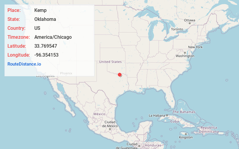
Full AddressKemp, OK 74741
-
Coordinates33.7695466, -96.3541531
-
LocationKemp , Oklahoma , US
-
TimezoneAmerica/Chicago
-
Current Local Time12:00:07 PM America/ChicagoWednesday, June 18, 2025
-
Page Views0
About Kemp
Kemp is a town in Bryan County, Oklahoma, United States. The population was 133 at the 2010 census, a decrease of 7.8 percent from the total of 144 recorded in 2000.
Nearby Places
Found 10 places within 50 miles

Achille
4.8 mi
7.7 km
Achille, OK
Get directions

Colbert
10.3 mi
16.6 km
Colbert, OK
Get directions

Denison
10.5 mi
16.9 km
Denison, TX
Get directions

Bells
11.5 mi
18.5 km
Bells, TX 75414
Get directions

Savoy
11.8 mi
19.0 km
Savoy, TX 75479
Get directions

Calera
12.2 mi
19.6 km
Calera, OK 74730
Get directions

Cartwright
13.2 mi
21.2 km
Cartwright, OK 74731
Get directions
Ector
14.1 mi
22.7 km
Ector, TX 75439
Get directions

Durant
15.6 mi
25.1 km
Durant, OK
Get directions
Knollwood
16.2 mi
26.1 km
Knollwood, TX 75092
Get directions
Location Links
Local Weather
Weather Information
Coming soon!
Location Map
Static map view of Kemp, Oklahoma
Browse Places by Distance
Places within specific distances from Kemp
Short Distances
Long Distances
Click any distance to see all places within that range from Kemp. Distances shown in miles (1 mile ≈ 1.61 kilometers).