Distance to Albert City, Iowa

Calculating Your Route
Just a moment while we process your request...
Location Information
-
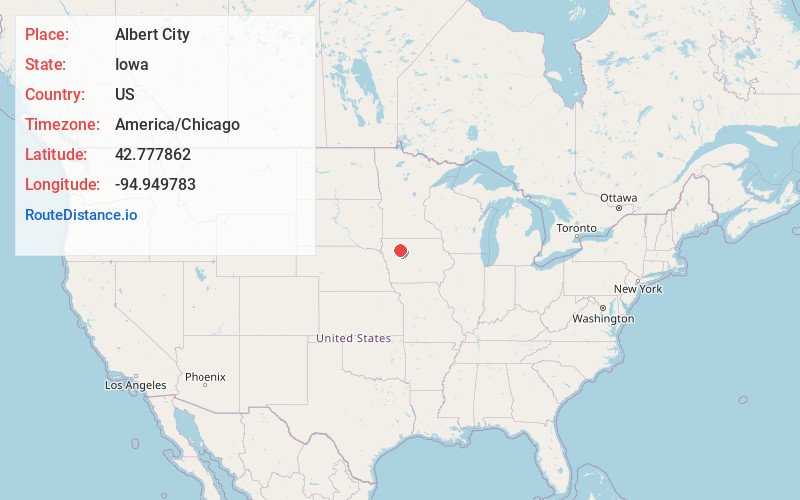
Full AddressAlbert City, IA 50510
-
Coordinates42.7778617, -94.9497833
-
LocationAlbert City , Iowa , US
-
TimezoneAmerica/Chicago
-
Current Local Time7:00:00 PM America/ChicagoThursday, June 19, 2025
-
Website
-
Page Views0
About Albert City
Albert City is a city in Buena Vista County, Iowa, United States. The population was 677 at the 2020 census.
The town was established in 1890 on property owned by George Anderson, and was initially named Manthorp, after a town in Sweden.
Nearby Places
Found 10 places within 50 miles

Laurens
6.9 mi
11.1 km
Laurens, IA 50554
Get directions
Newell
12.2 mi
19.6 km
Newell, IA 50568
Get directions
Sioux Rapids
12.9 mi
20.8 km
Sioux Rapids, IA 50585
Get directions

Pocahontas
14.5 mi
23.3 km
Pocahontas, IA 50574
Get directions

Storm Lake
15.8 mi
25.4 km
Storm Lake, IA 50588
Get directions

Alta
19.3 mi
31.1 km
Alta, IA 51002
Get directions
Rolfe
21.6 mi
34.8 km
Rolfe, IA 50581
Get directions

Early
24.2 mi
38.9 km
Early, IA 50535
Get directions

Ruthven
24.4 mi
39.3 km
Ruthven, IA 51358
Get directions

Sac City
24.7 mi
39.8 km
Sac City, IA 50583
Get directions
Location Links
Local Weather
Weather Information
Coming soon!
Location Map
Static map view of Albert City, Iowa
Browse Places by Distance
Places within specific distances from Albert City
Short Distances
Long Distances
Click any distance to see all places within that range from Albert City. Distances shown in miles (1 mile ≈ 1.61 kilometers).