Distance to Rolfe, Iowa

Calculating Your Route
Just a moment while we process your request...
Location Information
-
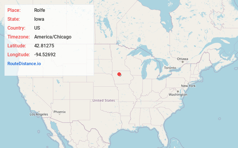
Full AddressRolfe, IA 50581
-
Coordinates42.8127501, -94.5269204
-
LocationRolfe , Iowa , US
-
TimezoneAmerica/Chicago
-
Current Local Time10:00:36 PM America/ChicagoFriday, May 23, 2025
-
Page Views0
About Rolfe
Rolfe is a city in Pocahontas County, Iowa, United States. The population was 509 at the time of the 2020 census.
This city was named after the Englishman John Rolfe, who married Pocahontas in Jamestown, Virginia.
Nearby Places
Found 10 places within 50 miles

Pocahontas
9.0 mi
14.5 km
Pocahontas, IA 50574
Get directions

West Bend
11.0 mi
17.7 km
West Bend, IA 50597
Get directions

Laurens
16.6 mi
26.7 km
Laurens, IA 50554
Get directions

Humboldt
17.0 mi
27.4 km
Humboldt, IA 50548
Get directions
Dakota City
17.9 mi
28.8 km
Dakota City, IA
Get directions

Manson
19.6 mi
31.5 km
Manson, IA 50563
Get directions

Emmetsburg
22.2 mi
35.7 km
Emmetsburg, IA 50536
Get directions
Algona
23.2 mi
37.3 km
Algona, IA 50511
Get directions
Newell
28.1 mi
45.2 km
Newell, IA 50568
Get directions

Fort Dodge
28.4 mi
45.7 km
Fort Dodge, IA 50501
Get directions
Location Links
Local Weather
Weather Information
Coming soon!
Location Map
Static map view of Rolfe, Iowa
Browse Places by Distance
Places within specific distances from Rolfe
Short Distances
Long Distances
Click any distance to see all places within that range from Rolfe. Distances shown in miles (1 mile ≈ 1.61 kilometers).