Distance to Laurens, Iowa

Calculating Your Route
Just a moment while we process your request...
Location Information
-
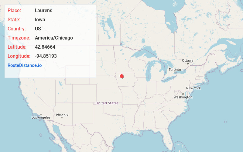
Full AddressLaurens, IA 50554
-
Coordinates42.8466398, -94.8519296
-
LocationLaurens , Iowa , US
-
TimezoneAmerica/Chicago
-
Current Local Time1:36:01 AM America/ChicagoSunday, June 22, 2025
-
Page Views0
About Laurens
Laurens is a city in Pocahontas County, Iowa, United States. Its population was 1,264 at the 2020 census.
Nearby Places
Found 10 places within 50 miles

Pocahontas
12.0 mi
19.3 km
Pocahontas, IA 50574
Get directions

Emmetsburg
20.3 mi
32.7 km
Emmetsburg, IA 50536
Get directions

Storm Lake
22.7 mi
36.5 km
Storm Lake, IA 50588
Get directions

Spencer
25.4 mi
40.9 km
Spencer, IA 51301
Get directions

Alta
25.8 mi
41.5 km
Alta, IA 51002
Get directions

Manson
27.2 mi
43.8 km
Manson, IA 50563
Get directions

Sac City
30.2 mi
48.6 km
Sac City, IA 50583
Get directions

Rockwell City
33.1 mi
53.3 km
Rockwell City, IA 50579
Get directions

Humboldt
33.4 mi
53.8 km
Humboldt, IA 50548
Get directions

Algona
34.9 mi
56.2 km
Algona, IA 50511
Get directions
Location Links
Local Weather
Weather Information
Coming soon!
Location Map
Static map view of Laurens, Iowa
Browse Places by Distance
Places within specific distances from Laurens
Short Distances
Long Distances
Click any distance to see all places within that range from Laurens. Distances shown in miles (1 mile ≈ 1.61 kilometers).