Distance to Albert Lea, Minnesota

Calculating Your Route
Just a moment while we process your request...
Location Information
-
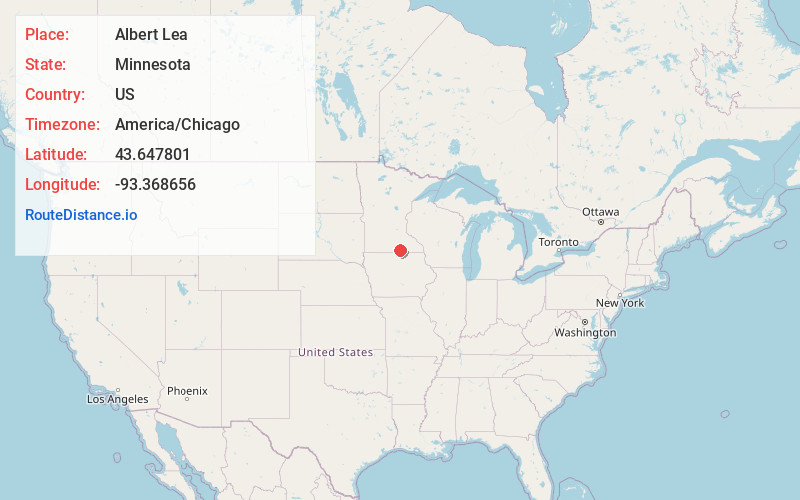
Full AddressAlbert Lea, MN 56007
-
Coordinates43.6478006, -93.3686555
-
LocationAlbert Lea , Minnesota , US
-
TimezoneAmerica/Chicago
-
Current Local Time7:34:31 PM America/ChicagoTuesday, June 17, 2025
-
Website
-
Page Views0
About Albert Lea
Albert Lea is a city in Freeborn County, in southern Minnesota. It is the county seat. Its population was 18,492 at the 2020 census.
The city is at the junction of Interstates 35 and 90, about 90 miles south of the Twin Cities.


Nearby Places
Found 5 places within 50 miles


Location Links
Local Weather
Weather Information
Coming soon!
Location Map
Static map view of Albert Lea, Minnesota
Browse Places by Distance
Places within specific distances from Albert Lea
Short Distances
Long Distances
Click any distance to see all places within that range from Albert Lea. Distances shown in miles (1 mile ≈ 1.61 kilometers).