Distance to Albert, Texas

Calculating Your Route
Just a moment while we process your request...
Location Information
-
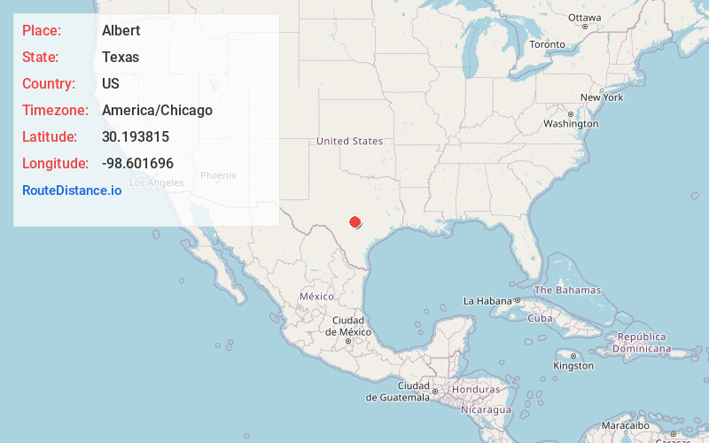
Full AddressAlbert, TX 78671
-
Coordinates30.1938154, -98.6016958
-
LocationAlbert , Texas , US
-
TimezoneAmerica/Chicago
-
Current Local Time3:26:54 AM America/ChicagoSaturday, May 31, 2025
-
Page Views0
About Albert
Albert, originally Martinsburg, is a ghost town located 16 miles southeast of Fredericksburg and one mile west of the Blanco County line in southeastern Gillespie County, Texas, United States. The town was a stop on the Fredericksburg-Blanco stage route; in 1967, it became a stop on the President's Ranch Trail.

Nearby Places
Found 10 places within 50 miles

Hye
3.9 mi
6.3 km
Hye, TX 78635
Get directions

Stonewall
4.8 mi
7.7 km
Stonewall, TX
Get directions

Blumenthal
8.6 mi
13.8 km
Blumenthal, TX 78624
Get directions

Blanco
12.6 mi
20.3 km
Blanco, TX 78606
Get directions

Johnson City
12.7 mi
20.4 km
Johnson City, TX 78636
Get directions
Bankersmith
13.9 mi
22.4 km
Bankersmith, TX 78624
Get directions
Sandy
14.0 mi
22.5 km
Sandy, TX 78636
Get directions
Willow City
15.5 mi
24.9 km
Willow City, TX 78624
Get directions
Kendalia
16.2 mi
26.1 km
Kendalia, TX 78013
Get directions

Fredericksburg
17.2 mi
27.7 km
Fredericksburg, TX 78624
Get directions
Location Links
Local Weather
Weather Information
Coming soon!
Location Map
Static map view of Albert, Texas
Browse Places by Distance
Places within specific distances from Albert
Short Distances
Long Distances
Click any distance to see all places within that range from Albert. Distances shown in miles (1 mile ≈ 1.61 kilometers).