Distance to Blumenthal, Texas

Calculating Your Route
Just a moment while we process your request...
Location Information
-
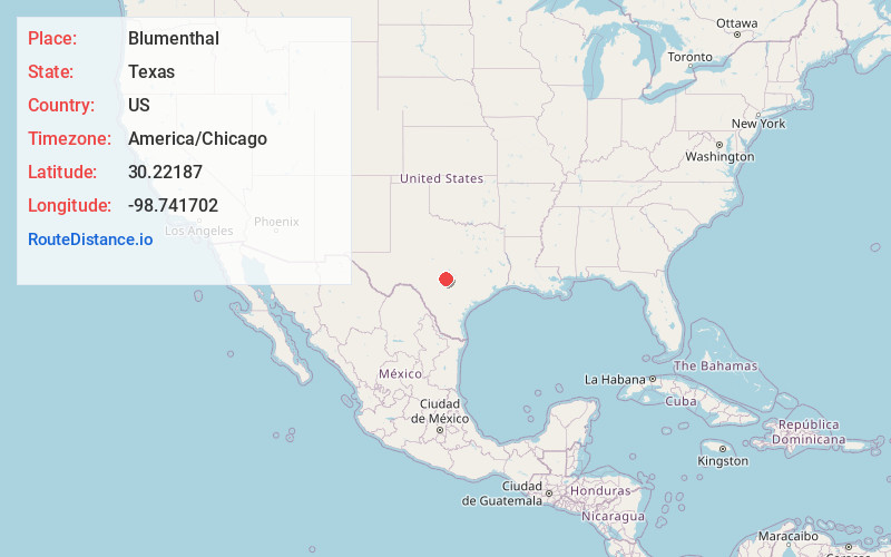
Full AddressBlumenthal, TX 78624
-
Coordinates30.2218701, -98.7417016
-
LocationTexas , US
-
TimezoneAmerica/Chicago
-
Current Local Time1:46:28 AM America/ChicagoFriday, June 20, 2025
-
Page Views0
About Blumenthal
Blumenthal is an unincorporated farming and ranching community on the Pedernales River in Gillespie County, in the U.S. state of Texas. It is located halfway between Fredericksburg and Stonewall on U.S. Route 290, near the intersection of Jung Lane.
Nearby Places
Found 10 places within 50 miles

Stonewall
4.7 mi
7.6 km
Stonewall, TX
Get directions

Bankersmith
8.2 mi
13.2 km
Bankersmith, TX 78624
Get directions

Fredericksburg
8.7 mi
14.0 km
Fredericksburg, TX 78624
Get directions

Hye
10.3 mi
16.6 km
Hye, TX 78635
Get directions
Willow City
12.6 mi
20.3 km
Willow City, TX 78624
Get directions
Eckert
13.3 mi
21.4 km
Eckert, TX 78675
Get directions
Sandy
18.9 mi
30.4 km
Sandy, TX 78636
Get directions

Johnson City
20.0 mi
32.2 km
Johnson City, TX 78636
Get directions

Comfort
20.1 mi
32.3 km
Comfort, TX 78013
Get directions

Blanco
21.0 mi
33.8 km
Blanco, TX 78606
Get directions
Location Links
Local Weather
Weather Information
Coming soon!
Location Map
Static map view of Blumenthal, Texas
Browse Places by Distance
Places within specific distances from Blumenthal
Short Distances
Long Distances
Click any distance to see all places within that range from Blumenthal. Distances shown in miles (1 mile ≈ 1.61 kilometers).