Distance to Alden, Oklahoma

Calculating Your Route
Just a moment while we process your request...
Location Information
-
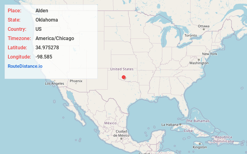
Full AddressAlden, OK 73015
-
Coordinates34.975278, -98.5849999
-
LocationAlden , Oklahoma , US
-
TimezoneAmerica/Chicago
-
Current Local Time4:14:08 PM America/ChicagoTuesday, June 17, 2025
-
Page Views0
About Alden
Alden is an unincorporated community in western Caddo County, Oklahoma, United States. Alden is one mile east of Oklahoma State Highway 58 approximately 9 miles south of Carnegie. The town is old enough to appear on a 1911 Rand McNally map of the county.
Nearby Places
Found 10 places within 50 miles

Carnegie
8.9 mi
14.3 km
Carnegie, OK 73015
Get directions

Fort Cobb
12.0 mi
19.3 km
Fort Cobb, OK
Get directions

Mountain View
12.4 mi
20.0 km
Mountain View, OK 73062
Get directions

Apache
13.6 mi
21.9 km
Apache, OK 73006
Get directions

Lawtonka Acres
13.9 mi
22.4 km
Lawtonka Acres, OK 73507
Get directions

Lake Ellsworth
15.7 mi
25.3 km
Lake Ellsworth, Oklahoma
Get directions

Washita
16.4 mi
26.4 km
Washita, OK 73005
Get directions

Gotebo
17.5 mi
28.2 km
Gotebo, OK 73041
Get directions

Medicine Park
17.6 mi
28.3 km
Medicine Park, OK
Get directions

Cooperton
17.7 mi
28.5 km
Cooperton, OK 73564
Get directions
Location Links
Local Weather
Weather Information
Coming soon!
Location Map
Static map view of Alden, Oklahoma
Browse Places by Distance
Places within specific distances from Alden
Short Distances
Long Distances
Click any distance to see all places within that range from Alden. Distances shown in miles (1 mile ≈ 1.61 kilometers).