Distance to Mountain View, Oklahoma

Calculating Your Route
Just a moment while we process your request...
Location Information
-
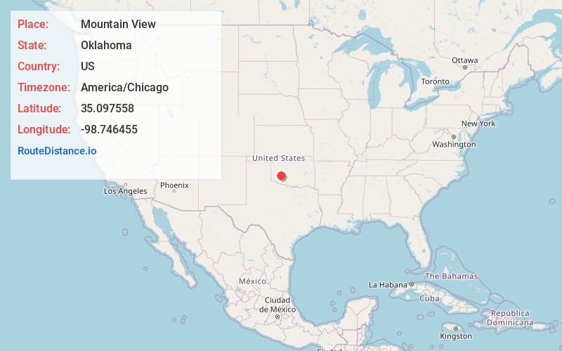
Full AddressMountain View, OK 73062
-
Coordinates35.0975577, -98.7464552
-
LocationMountain View , Oklahoma , US
-
TimezoneAmerica/Chicago
-
Current Local Time5:49:22 PM America/ChicagoWednesday, June 18, 2025
-
Page Views0
About Mountain View
Mountain View is a town in Kiowa County, Oklahoma, United States. Its population was 740 as of the 2020 United States census. It is situated about 23 miles east of the county seat of Hobart, at the intersection of Oklahoma State Highway 9 and Oklahoma State Highway 115.

Nearby Places
Found 10 places within 50 miles

Carnegie
8.1 mi
13.0 km
Carnegie, OK 73015
Get directions

New Cordell
19.1 mi
30.7 km
New Cordell, OK 73632
Get directions

Corn
19.5 mi
31.4 km
Corn, OK 73024
Get directions

Hobart
20.2 mi
32.5 km
Hobart, OK 73651
Get directions

Sentinel
24.6 mi
39.6 km
Sentinel, OK 73664
Get directions

Apache
25.7 mi
41.4 km
Apache, OK 73006
Get directions

Anadarko
28.5 mi
45.9 km
Anadarko, OK 73005
Get directions

Burns Flat
29.6 mi
47.6 km
Burns Flat, OK 73647
Get directions

Weatherford
29.7 mi
47.8 km
Weatherford, OK 73096
Get directions

Clinton
31.5 mi
50.7 km
Clinton, OK
Get directions
Location Links
Local Weather
Weather Information
Coming soon!
Location Map
Static map view of Mountain View, Oklahoma
Browse Places by Distance
Places within specific distances from Mountain View
Short Distances
Long Distances
Click any distance to see all places within that range from Mountain View. Distances shown in miles (1 mile ≈ 1.61 kilometers).