Distance to Carnegie, Oklahoma

Calculating Your Route
Just a moment while we process your request...
Location Information
-
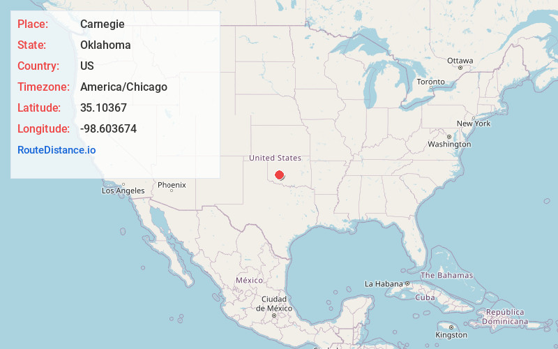
Full AddressCarnegie, OK 73015
-
Coordinates35.1036699, -98.6036735
-
LocationCarnegie , Oklahoma , US
-
TimezoneAmerica/Chicago
-
Current Local Time12:57:10 AM America/ChicagoWednesday, June 18, 2025
-
Website
-
Page Views0
About Carnegie
Carnegie is a town in Caddo County, Oklahoma, United States. The population was 1,430 as of the 2020 United States census.


Nearby Places
Found 10 places within 50 miles

Anadarko
20.5 mi
33.0 km
Anadarko, OK 73005
Get directions

New Cordell
25.3 mi
40.7 km
New Cordell, OK 73632
Get directions

Hobart
28.2 mi
45.4 km
Hobart, OK 73651
Get directions

Elgin
28.5 mi
45.9 km
Elgin, OK 73538
Get directions

Hinton
29.0 mi
46.7 km
Hinton, OK 73047
Get directions

Weatherford
29.8 mi
48.0 km
Weatherford, OK 73096
Get directions

Cache
32.8 mi
52.8 km
Cache, OK 73527
Get directions

Clinton
35.1 mi
56.5 km
Clinton, OK
Get directions

Burns Flat
36.2 mi
58.3 km
Burns Flat, OK 73647
Get directions

Lawton
36.5 mi
58.7 km
Lawton, OK
Get directions
Location Links
Local Weather
Weather Information
Coming soon!
Location Map
Static map view of Carnegie, Oklahoma
Browse Places by Distance
Places within specific distances from Carnegie
Short Distances
Long Distances
Click any distance to see all places within that range from Carnegie. Distances shown in miles (1 mile ≈ 1.61 kilometers).