Distance to Alexander, North Carolina

Calculating Your Route
Just a moment while we process your request...
Location Information
-
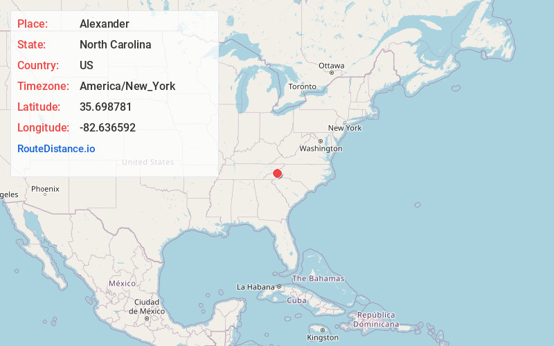
Full AddressAlexander, NC 28701
-
Coordinates35.6987805, -82.6365922
-
LocationAlexander , North Carolina , US
-
TimezoneAmerica/New_York
-
Current Local Time10:41:30 PM America/New_YorkFriday, June 27, 2025
-
Page Views0
About Alexander
Alexander is an unincorporated community in Buncombe County, North Carolina, United States. Alexander is located on the French Broad River and North Carolina Highway 251, 3.3 miles west of Weaverville. Alexander has a post office with ZIP code 28701, which opened on September 13, 1881.
Nearby Places
Found 10 places within 50 miles

Juno
4.1 mi
6.6 km
Juno, NC 28806
Get directions

Weaverville
4.3 mi
6.9 km
Weaverville, NC
Get directions

Woodfin
5.5 mi
8.9 km
Woodfin, NC
Get directions
Georgetown
5.5 mi
8.9 km
Georgetown, NC 28806
Get directions
Dula Springs
5.5 mi
8.9 km
Dula Springs, NC 28787
Get directions
Stocksville
6.0 mi
9.7 km
Stocksville, NC 28787
Get directions
Rollins
6.5 mi
10.5 km
Rollins, Marshall, NC 28753
Get directions
Bingham Heights
6.7 mi
10.8 km
Bingham Heights, NC 28806
Get directions
Canto
6.9 mi
11.1 km
Canto, NC 28748
Get directions

Marshall
7.3 mi
11.7 km
Marshall, NC 28753
Get directions
Location Links
Local Weather
Weather Information
Coming soon!
Location Map
Static map view of Alexander, North Carolina
Browse Places by Distance
Places within specific distances from Alexander
Short Distances
Long Distances
Click any distance to see all places within that range from Alexander. Distances shown in miles (1 mile ≈ 1.61 kilometers).