Distance to and from Alexis, North Carolina
Alexis, NC
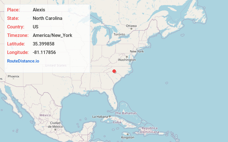
Alexis
North Carolina
US
America/New_York
Location Information
-
Full AddressAlexis, NC
-
Coordinates35.399858, -81.1178555
-
LocationAlexis , North Carolina , US
-
TimezoneAmerica/New_York
-
Current Local Time11:07:59 PM America/New_YorkFriday, May 2, 2025
-
Page Views0
Directions to Nearest Cities
About Alexis
Alexis is an unincorporated community and census-designated place in Gaston County, North Carolina, United States. It is located approximately three miles north of Stanley. It was first listed as a CDP in the 2020 census with a population of 589.
Alexis was incorporated in 1899.
Nearby Places
Found 10 places within 50 miles

Stanley
3.6 mi
5.8 km
Stanley, NC
Get directions

Iron Station
3.6 mi
5.8 km
Iron Station, NC 28080
Get directions

High Shoals
4.7 mi
7.6 km
High Shoals, NC
Get directions
Lowesville
6.1 mi
9.8 km
Lowesville, NC
Get directions

Dallas
6.6 mi
10.6 km
Dallas, NC
Get directions
Springdale
7.8 mi
12.6 km
Springdale, NC 28054
Get directions
Ranlo
7.9 mi
12.7 km
Ranlo, NC
Get directions

Lowell
9.2 mi
14.8 km
Lowell, NC
Get directions

Mt Holly
9.2 mi
14.8 km
Mt Holly, NC
Get directions

Lincolnton
9.2 mi
14.8 km
Lincolnton, NC 28092
Get directions
Stanley
3.6 mi
5.8 km
Stanley, NC
Iron Station
3.6 mi
5.8 km
Iron Station, NC 28080
High Shoals
4.7 mi
7.6 km
High Shoals, NC
Lowesville
6.1 mi
9.8 km
Lowesville, NC
Dallas
6.6 mi
10.6 km
Dallas, NC
Springdale
7.8 mi
12.6 km
Springdale, NC 28054
Ranlo
7.9 mi
12.7 km
Ranlo, NC
Lowell
9.2 mi
14.8 km
Lowell, NC
Mt Holly
9.2 mi
14.8 km
Mt Holly, NC
Lincolnton
9.2 mi
14.8 km
Lincolnton, NC 28092
Location Links
Local Weather
Weather Information
Coming soon!
Location Map
Static map view of Alexis, North Carolina
Browse Places by Distance
Places within specific distances from Alexis
Short Distances
Long Distances
Click any distance to see all places within that range from Alexis. Distances shown in miles (1 mile ≈ 1.61 kilometers).