Distance to and from Alfalfa, Oklahoma
Alfalfa, OK 73015
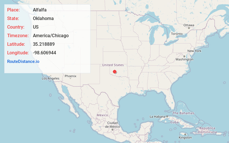
Alfalfa
Oklahoma
US
America/Chicago
Location Information
-
Full AddressAlfalfa, OK 73015
-
Coordinates35.218889, -98.606944
-
LocationAlfalfa , Oklahoma , US
-
TimezoneAmerica/Chicago
-
Current Local Time2:22:23 PM America/ChicagoSaturday, May 3, 2025
-
Page Views0
Directions to Nearest Cities
About Alfalfa
Alfalfa is an unincorporated residential village in western Caddo County, Oklahoma, United States. Alfalfa is located on Oklahoma State Highway 58, 8 miles north of Carnegie and 9 miles south of Eakly. Fort Cobb Lake and state park are approximately five miles to the east.


Nearby Places
Found 10 places within 50 miles

Swan Lake
5.2 mi
8.4 km
Swan Lake, OK 73048
Get directions

Cowden
6.3 mi
10.1 km
Cowden, OK 73632
Get directions

Eakly
6.6 mi
10.6 km
Eakly, OK 73033
Get directions

Carnegie
8.0 mi
12.9 km
Carnegie, OK 73015
Get directions

Colony
9.8 mi
15.8 km
Colony, OK 73021
Get directions

Nowhere
10.2 mi
16.4 km
Nowhere, OK 73038
Get directions

Albert
11.1 mi
17.9 km
Albert, OK 73038
Get directions

Mountain View
11.5 mi
18.5 km
Mountain View, OK 73062
Get directions

Fort Cobb
12.8 mi
20.6 km
Fort Cobb, OK
Get directions

Corn
14.8 mi
23.8 km
Corn, OK 73024
Get directions
Swan Lake
5.2 mi
8.4 km
Swan Lake, OK 73048
Cowden
6.3 mi
10.1 km
Cowden, OK 73632
Eakly
6.6 mi
10.6 km
Eakly, OK 73033
Carnegie
8.0 mi
12.9 km
Carnegie, OK 73015
Colony
9.8 mi
15.8 km
Colony, OK 73021
Nowhere
10.2 mi
16.4 km
Nowhere, OK 73038
Albert
11.1 mi
17.9 km
Albert, OK 73038
Mountain View
11.5 mi
18.5 km
Mountain View, OK 73062
Fort Cobb
12.8 mi
20.6 km
Fort Cobb, OK
Corn
14.8 mi
23.8 km
Corn, OK 73024
Location Links
Local Weather
Weather Information
Coming soon!
Location Map
Static map view of Alfalfa, Oklahoma
Browse Places by Distance
Places within specific distances from Alfalfa
Short Distances
Long Distances
Click any distance to see all places within that range from Alfalfa. Distances shown in miles (1 mile ≈ 1.61 kilometers).