Distance to Alhambra, Virginia

Calculating Your Route
Just a moment while we process your request...
Location Information
-
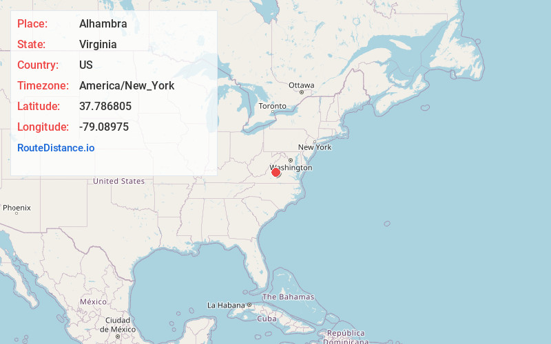
Full AddressAlhambra, VA 22967
-
Coordinates37.7868045, -79.08975
-
LocationAlhambra , Virginia , US
-
TimezoneAmerica/New_York
-
Current Local Time3:17:51 PM America/New_YorkSaturday, June 14, 2025
-
Page Views0

Nearby Places
Found 10 places within 50 miles

Woodson
2.7 mi
4.3 km
Woodson, VA 22967
Get directions

Lowesville
4.9 mi
7.9 km
Lowesville, VA 22967
Get directions

Massies Mill
4.9 mi
7.9 km
Massies Mill, VA 22967
Get directions
Nash
5.4 mi
8.7 km
Nash, VA 22976
Get directions
Hendersons Store
5.8 mi
9.3 km
Hendersons Store, VA 22967
Get directions

Montebello
5.9 mi
9.5 km
Montebello, VA 24464
Get directions
Lanes Ford
6.1 mi
9.8 km
Lanes Ford, VA 22964
Get directions
Gidsville
6.5 mi
10.5 km
Gidsville, VA 24521
Get directions

Piney River
6.7 mi
10.8 km
Piney River, VA 22964
Get directions

Roseland
6.8 mi
10.9 km
Roseland, VA 22967
Get directions
Location Links
Local Weather
Weather Information
Coming soon!
Location Map
Static map view of Alhambra, Virginia
Browse Places by Distance
Places within specific distances from Alhambra
Short Distances
Long Distances
Click any distance to see all places within that range from Alhambra. Distances shown in miles (1 mile ≈ 1.61 kilometers).