Distance to Montebello, Virginia

Calculating Your Route
Just a moment while we process your request...
Location Information
-
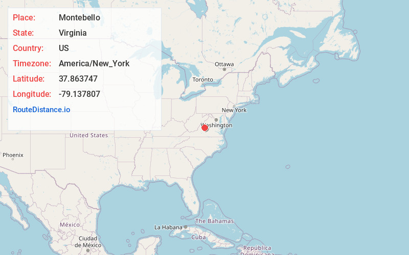
Full AddressMontebello, VA 24464
-
Coordinates37.8637468, -79.137807
-
LocationMontebello , Virginia , US
-
TimezoneAmerica/New_York
-
Current Local Time12:01:59 PM America/New_YorkThursday, June 19, 2025
-
Page Views0
About Montebello
Montebello is an unincorporated community in Nelson County, Virginia, United States. It was among the communities severely affected by flash flooding from Hurricane Camille in 1969.


Nearby Places
Found 10 places within 50 miles

Steeles Tavern
5.5 mi
8.9 km
Steeles Tavern, VA
Get directions

Marlbrook Creek
7.2 mi
11.6 km
Marlbrook Creek, Virginia 24435
Get directions

Raphine
7.3 mi
11.7 km
Raphine, VA 24472
Get directions
Spottswood
7.5 mi
12.1 km
Spottswood, VA 24472
Get directions

Alto
8.0 mi
12.9 km
Alto, VA 24483
Get directions

Fairfield
8.3 mi
13.4 km
Fairfield, VA 24435
Get directions

Greenville
9.7 mi
15.6 km
Greenville, VA
Get directions

Lowesville
10.8 mi
17.4 km
Lowesville, VA 22967
Get directions
Brownsburg
10.9 mi
17.5 km
Brownsburg, VA 24472
Get directions
Wilda
10.9 mi
17.5 km
Wilda, VA 24440
Get directions
Location Links
Local Weather
Weather Information
Coming soon!
Location Map
Static map view of Montebello, Virginia
Browse Places by Distance
Places within specific distances from Montebello
Short Distances
Long Distances
Click any distance to see all places within that range from Montebello. Distances shown in miles (1 mile ≈ 1.61 kilometers).