Distance to Raphine, Virginia

Calculating Your Route
Just a moment while we process your request...
Location Information
-
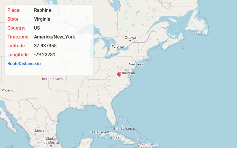
Full AddressRaphine, VA 24472
-
Coordinates37.9373548, -79.2328102
-
LocationRaphine , Virginia , US
-
TimezoneAmerica/New_York
-
Current Local Time12:18:18 AM America/New_YorkThursday, June 19, 2025
-
Page Views0
About Raphine
Raphine is an unincorporated community in Rockbridge County in the Shenandoah Valley in the U.S. state of Virginia.


Nearby Places
Found 10 places within 50 miles

Spottswood
1.6 mi
2.6 km
Spottswood, VA 24472
Get directions

Steeles Tavern
1.9 mi
3.1 km
Steeles Tavern, VA
Get directions

Fairfield
5.1 mi
8.2 km
Fairfield, VA 24435
Get directions
Marlbrook Creek
5.2 mi
8.4 km
Marlbrook Creek, Virginia 24435
Get directions

Greenville
6.2 mi
10.0 km
Greenville, VA
Get directions

Bustleburg
7.8 mi
12.6 km
Bustleburg, VA 24473
Get directions

Middlebrook
7.9 mi
12.7 km
Middlebrook, VA
Get directions
Timber Ridge
9.2 mi
14.8 km
Timber Ridge, VA 24450
Get directions

Alto
11.4 mi
18.3 km
Alto, VA 24483
Get directions
Mint Spring
11.9 mi
19.2 km
Mint Spring, VA 24401
Get directions
Location Links
Local Weather
Weather Information
Coming soon!
Location Map
Static map view of Raphine, Virginia
Browse Places by Distance
Places within specific distances from Raphine
Short Distances
Long Distances
Click any distance to see all places within that range from Raphine. Distances shown in miles (1 mile ≈ 1.61 kilometers).