Distance to Wilda, Virginia

Calculating Your Route
Just a moment while we process your request...
Location Information
-
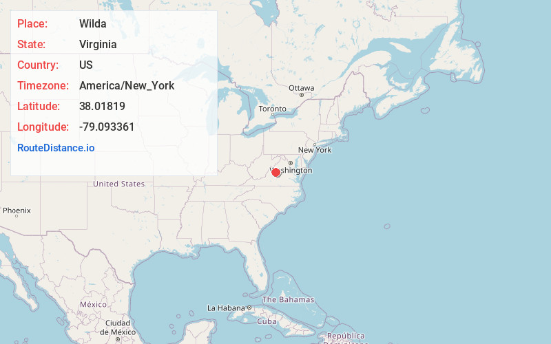
Full AddressWilda, VA 24440
-
Coordinates38.0181902, -79.0933614
-
LocationWilda , Virginia , US
-
TimezoneAmerica/New_York
-
Current Local Time8:57:00 AM America/New_YorkThursday, May 29, 2025
-
Page Views0
Nearby Places
Found 10 places within 50 miles

Stuarts Draft
3.4 mi
5.5 km
Stuarts Draft, VA
Get directions

Greenville
3.6 mi
5.8 km
Greenville, VA
Get directions

Mint Spring
3.9 mi
6.3 km
Mint Spring, VA 24401
Get directions
Lipscomb
6.2 mi
10.0 km
Lipscomb, Lyndhurst, VA 24477
Get directions

Jolivue
6.6 mi
10.6 km
Jolivue, VA 24401
Get directions

Middlebrook
6.9 mi
11.1 km
Middlebrook, VA
Get directions
Spottswood
7.9 mi
12.7 km
Spottswood, VA 24472
Get directions

Sherando
8.0 mi
12.9 km
Sherando, VA
Get directions

Lyndhurst
8.1 mi
13.0 km
Lyndhurst, VA
Get directions
Peyton
8.5 mi
13.7 km
Peyton, Staunton, VA 24401
Get directions
Location Links
Local Weather
Weather Information
Coming soon!
Location Map
Static map view of Wilda, Virginia
Browse Places by Distance
Places within specific distances from Wilda
Short Distances
Long Distances
Click any distance to see all places within that range from Wilda. Distances shown in miles (1 mile ≈ 1.61 kilometers).