Distance to Alhambra, Kentucky

Calculating Your Route
Just a moment while we process your request...
Location Information
-
Full AddressAlhambra, KY 41055
-
Coordinates38.4903529, -83.9454802
-
LocationAlhambra , Kentucky , US
-
TimezoneAmerica/New_York
-
Current Local Time10:29:30 PM America/New_YorkTuesday, June 17, 2025
-
Page Views0
Nearby Places
Found 10 places within 50 miles

Sardis
2.9 mi
4.7 km
Sardis, KY 41055
Get directions
Piqua
5.6 mi
9.0 km
Piqua, KY 41064
Get directions

Mt Olivet
5.7 mi
9.2 km
Mt Olivet, KY 41064
Get directions
Mays Lick
5.9 mi
9.5 km
Mays Lick, KY 41055
Get directions
Ewing
6.2 mi
10.0 km
Ewing, KY 41039
Get directions
Murphysville
6.9 mi
11.1 km
Murphysville, KY 41056
Get directions
Nepton
7.1 mi
11.4 km
Nepton, KY 41041
Get directions
Pleasant Valley
7.7 mi
12.4 km
Pleasant Valley, KY 40311
Get directions
Ellisville
8.0 mi
12.9 km
Ellisville, KY 40311
Get directions
Elizaville
8.1 mi
13.0 km
Elizaville, KY
Get directions
Location Links
Local Weather
Weather Information
Coming soon!
Location Map
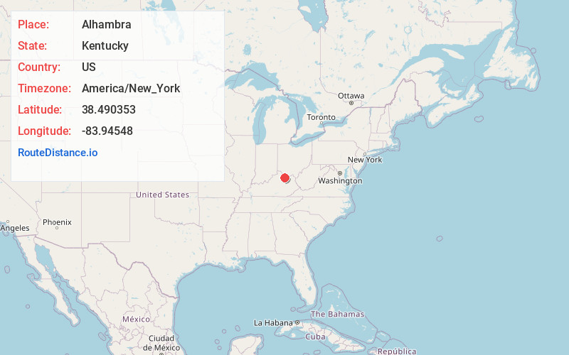
Static map view of Alhambra, Kentucky
Browse Places by Distance
Places within specific distances from Alhambra
Short Distances
Long Distances
Click any distance to see all places within that range from Alhambra. Distances shown in miles (1 mile ≈ 1.61 kilometers).