Distance to Piqua, Kentucky

Calculating Your Route
Just a moment while we process your request...
Location Information
-
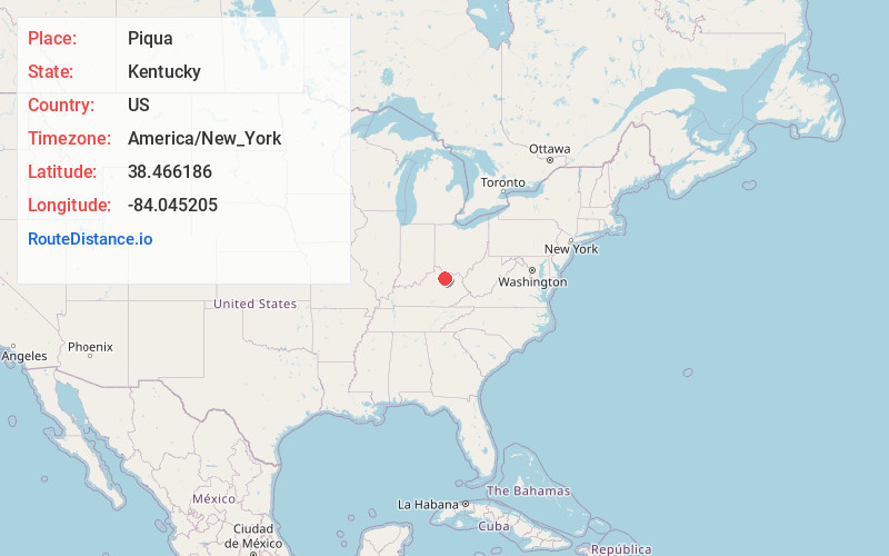
Full AddressPiqua, KY 41064
-
Coordinates38.4661858, -84.0452053
-
LocationPiqua , Kentucky , US
-
TimezoneAmerica/New_York
-
Current Local Time4:22:50 PM America/New_YorkSaturday, June 7, 2025
-
Page Views0
About Piqua
Piqua is an unincorporated village in Robertson County, Kentucky, United States. It lies along Routes 165 and 617 south of the city of Mount Olivet, the county seat of Robertson County. Its name refers to the Piqua tribe of the Shawnee Indians which were indigenous to the region which became Kentucky.
Nearby Places
Found 10 places within 50 miles

Mt Olivet
4.5 mi
7.2 km
Mt Olivet, KY 41064
Get directions

Barefoot
4.9 mi
7.9 km
Barefoot, KY 40311
Get directions
Sylvandell
6.3 mi
10.1 km
Sylvandell, KY 41031
Get directions
Sardis
6.6 mi
10.6 km
Sardis, KY 41055
Get directions
Bridgeville
9.0 mi
14.5 km
Bridgeville, KY 41004
Get directions

Licking River
9.6 mi
15.4 km
Licking River, Kentucky
Get directions
Milford
9.9 mi
15.9 km
Milford, KY 41004
Get directions
Ewing
10.2 mi
16.4 km
Ewing, KY 41039
Get directions
Oddville
10.5 mi
16.9 km
Oddville, KY 41031
Get directions

Carlisle
10.7 mi
17.2 km
Carlisle, KY 40311
Get directions
Location Links
Local Weather
Weather Information
Coming soon!
Location Map
Static map view of Piqua, Kentucky
Browse Places by Distance
Places within specific distances from Piqua
Short Distances
Long Distances
Click any distance to see all places within that range from Piqua. Distances shown in miles (1 mile ≈ 1.61 kilometers).