Distance to Mt Olivet, Kentucky

Calculating Your Route
Just a moment while we process your request...
Location Information
-
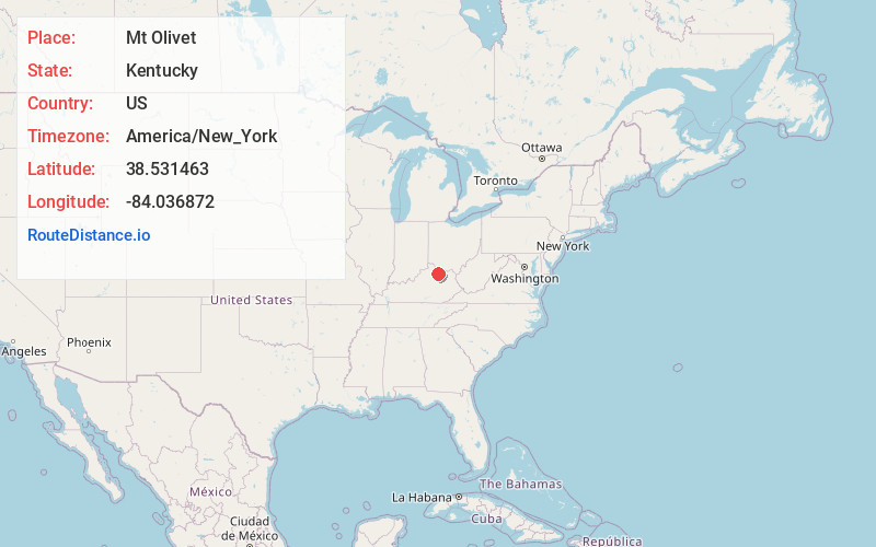
Full AddressMt Olivet, KY 41064
-
Coordinates38.531463, -84.036872
-
LocationMt Olivet , Kentucky , US
-
TimezoneAmerica/New_York
-
Current Local Time2:37:05 PM America/New_YorkTuesday, June 24, 2025
-
Page Views0
About Mt Olivet
Mount Olivet is a home rule-class city in and the county seat of Robertson County, Kentucky, United States, located at the junction of U.S. Route 62 and Kentucky Route 165. The population was 347 at the 2020 United States census.

Nearby Places
Found 10 places within 50 miles

Germantown
9.4 mi
15.1 km
Germantown, KY 41044
Get directions

Brooksville
10.6 mi
17.1 km
Brooksville, KY 41004
Get directions
Ewing
11.8 mi
19.0 km
Ewing, KY 41039
Get directions

Carlisle
15.2 mi
24.5 km
Carlisle, KY 40311
Get directions

Augusta
16.7 mi
26.9 km
Augusta, KY 41002
Get directions
Millersburg
16.9 mi
27.2 km
Millersburg, KY
Get directions

Cynthiana
17.0 mi
27.4 km
Cynthiana, KY 41031
Get directions

Aberdeen
17.2 mi
27.7 km
Aberdeen, OH 45101
Get directions

Maysville
17.5 mi
28.2 km
Maysville, KY 41056
Get directions

Dover
17.7 mi
28.5 km
Dover, KY 41034
Get directions
Location Links
Local Weather
Weather Information
Coming soon!
Location Map
Static map view of Mt Olivet, Kentucky
Browse Places by Distance
Places within specific distances from Mt Olivet
Short Distances
Long Distances
Click any distance to see all places within that range from Mt Olivet. Distances shown in miles (1 mile ≈ 1.61 kilometers).