Distance to Augusta, Kentucky

Calculating Your Route
Just a moment while we process your request...
Location Information
-
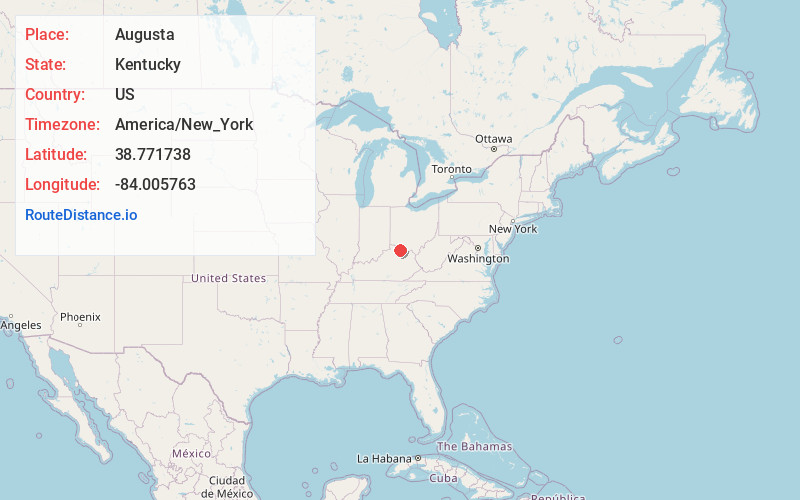
Full AddressAugusta, KY 41002
-
Coordinates38.7717376, -84.0057628
-
LocationAugusta , Kentucky , US
-
TimezoneAmerica/New_York
-
Current Local Time6:48:16 AM America/New_YorkMonday, June 16, 2025
-
Website
-
Page Views0
About Augusta
Augusta is a home rule-class city in Bracken County, Kentucky, in the United States. It is located upon the southern bank of the Ohio River. As of the 2020 census, the city population was 1,096. When Bracken County was organized in 1796, Augusta was the county seat.


Nearby Places
Found 10 places within 50 miles

Georgetown
8.4 mi
13.5 km
Georgetown, OH 45121
Get directions

Bethel
13.9 mi
22.4 km
Bethel, OH 45106
Get directions

Maysville
16.7 mi
26.9 km
Maysville, KY 41056
Get directions

Mt Orab
18.3 mi
29.5 km
Mt Orab, OH
Get directions

Falmouth
18.7 mi
30.1 km
Falmouth, KY 41040
Get directions

New Richmond
19.4 mi
31.2 km
New Richmond, OH 45157
Get directions

Williamsburg
19.7 mi
31.7 km
Williamsburg, OH
Get directions

Amelia
21.1 mi
34.0 km
Amelia, OH
Get directions

Manchester
22.5 mi
36.2 km
Manchester, OH 45144
Get directions

Batavia
23.0 mi
37.0 km
Batavia, OH 45103
Get directions
Location Links
Local Weather
Weather Information
Coming soon!
Location Map
Static map view of Augusta, Kentucky
Browse Places by Distance
Places within specific distances from Augusta
Short Distances
Long Distances
Click any distance to see all places within that range from Augusta. Distances shown in miles (1 mile ≈ 1.61 kilometers).