Distance to Licking River, Kentucky

Calculating Your Route
Just a moment while we process your request...
Location Information
-
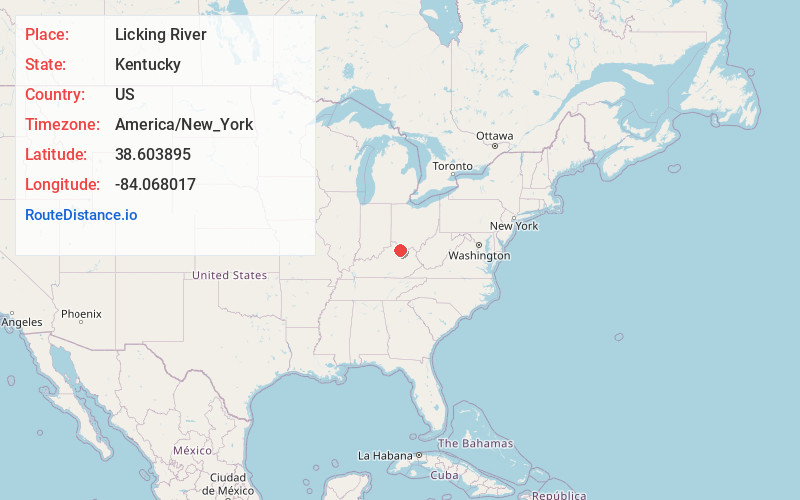
Full AddressLicking River, Kentucky
-
Coordinates38.6038954, -84.0680169
-
LocationKentucky , US
-
TimezoneAmerica/New_York
-
Current Local Time12:47:49 AM America/New_YorkSunday, June 1, 2025
-
Page Views0


Nearby Places
Found 10 places within 50 miles

Milford
5.2 mi
8.4 km
Milford, KY 41004
Get directions

Mt Olivet
5.3 mi
8.5 km
Mt Olivet, KY 41064
Get directions

Brooksville
5.4 mi
8.7 km
Brooksville, KY 41004
Get directions
Germantown
6.6 mi
10.6 km
Germantown, KY 41044
Get directions
Sardis
7.9 mi
12.7 km
Sardis, KY 41055
Get directions
McKinneysburg
10.7 mi
17.2 km
McKinneysburg, KY 41040
Get directions

Augusta
12.1 mi
19.5 km
Augusta, KY 41002
Get directions
Barefoot
12.7 mi
20.4 km
Barefoot, KY 40311
Get directions
Lenoxburg
12.8 mi
20.6 km
Lenoxburg, KY 41043
Get directions
Mays Lick
13.6 mi
21.9 km
Mays Lick, KY 41055
Get directions
Location Links
Local Weather
Weather Information
Coming soon!
Location Map
Static map view of Licking River, Kentucky
Browse Places by Distance
Places within specific distances from Licking River
Short Distances
Long Distances
Click any distance to see all places within that range from Licking River. Distances shown in miles (1 mile ≈ 1.61 kilometers).