Distance to Alhambra, Montana

Calculating Your Route
Just a moment while we process your request...
Location Information
-
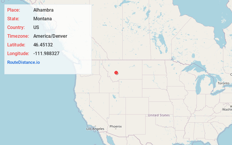
Full AddressAlhambra, Clancy, MT 59634
-
Coordinates46.4513204, -111.988327
-
NeighborhoodAlhambra
-
LocationClancy , Montana , US
-
TimezoneAmerica/Denver
-
Current Local Time5:02:57 PM America/DenverTuesday, June 17, 2025
-
Page Views0
About Alhambra
Alhambra is a populated place in Jefferson County, Montana, United States. It is a subdivision approximately one mile south of Clancy. Its postal code is 59634. Alhambra is part of the Helena Micropolitan Area, and its population is counted within the Clancy census-designated place.
Nearby Places
Found 10 places within 50 miles

Clancy
1.0 mi
1.6 km
Clancy, MT 59634
Get directions

Montana City
6.5 mi
10.5 km
Montana City, MT
Get directions

Unionville
7.7 mi
12.4 km
Unionville, MT 59601
Get directions

Helena
9.8 mi
15.8 km
Helena, MT
Get directions

East Helena
10.2 mi
16.4 km
East Helena, MT
Get directions

Helena West Side
11.5 mi
18.5 km
Helena West Side, MT
Get directions
Louisville
12.0 mi
19.3 km
Louisville, MT 59635
Get directions
Clasoil
12.1 mi
19.5 km
Clasoil, MT 59635
Get directions

Elkhorn
12.4 mi
20.0 km
Elkhorn, MT 59632
Get directions

Rimini
12.6 mi
20.3 km
Rimini, MT 59601
Get directions
Location Links
Local Weather
Weather Information
Coming soon!
Location Map
Static map view of Alhambra, Montana
Browse Places by Distance
Places within specific distances from Alhambra
Short Distances
Long Distances
Click any distance to see all places within that range from Alhambra. Distances shown in miles (1 mile ≈ 1.61 kilometers).