Distance to Allin Township, Illinois

Calculating Your Route
Just a moment while we process your request...
Location Information
-
Full AddressAllin Township, IL
-
Coordinates40.4488036, -89.189643
-
LocationAllin Township , Illinois , US
-
TimezoneAmerica/Chicago
-
Current Local Time6:29:12 PM America/ChicagoTuesday, June 17, 2025
-
Page Views0
About Allin Township
Allin Township is located in McLean County, Illinois. As of the 2010 census, its population was 919 and it contained 389 housing units. Allin Township was originally named Mosquito Grove Township, but changed its name on March 4, 1867. The township bears the name of James Allin, a promoter of Bloomington, Illinois.
Nearby Places
Found 10 places within 50 miles

Stanford
1.8 mi
2.9 km
Stanford, IL 61774
Get directions

Covell
4.3 mi
6.9 km
Covell, IL 61705
Get directions

Danvers
5.6 mi
9.0 km
Danvers, IL 61732
Get directions
Minier
6.6 mi
10.6 km
Minier, IL 61759
Get directions
Dry Grove Township
6.9 mi
11.1 km
Dry Grove Township, IL
Get directions

Funks Grove
7.1 mi
11.4 km
Funks Grove, IL 61754
Get directions

Shirley
7.3 mi
11.7 km
Shirley, IL 61772
Get directions
Lilly
8.0 mi
12.9 km
Lilly, IL 61755
Get directions

McLean
9.3 mi
15.0 km
McLean, IL 61754
Get directions
Fravert
9.5 mi
15.3 km
Fravert, Little Mackinaw Township, IL 61759
Get directions
Location Links
Local Weather
Weather Information
Coming soon!
Location Map
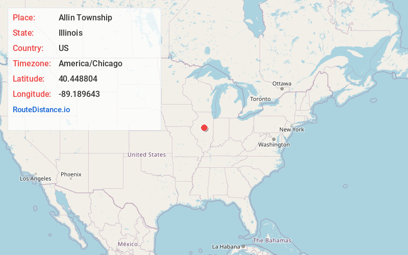
Static map view of Allin Township, Illinois
Browse Places by Distance
Places within specific distances from Allin Township
Short Distances
Long Distances
Click any distance to see all places within that range from Allin Township. Distances shown in miles (1 mile ≈ 1.61 kilometers).