Distance to Funks Grove, Illinois

Calculating Your Route
Just a moment while we process your request...
Location Information
-
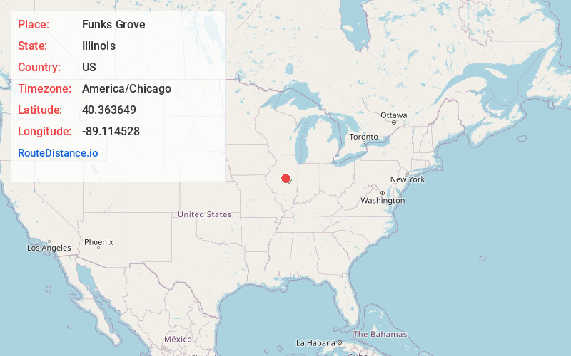
Full AddressFunks Grove, IL 61754
-
Coordinates40.363649, -89.114528
-
LocationFunks Grove , Illinois , US
-
TimezoneAmerica/Chicago
-
Current Local Time10:59:34 AM America/ChicagoSunday, June 22, 2025
-
Page Views0
About Funks Grove
Funks Grove is a historic unincorporated community on U.S. Route 66 in McLean County, Illinois, United States, southwest of Bloomington. The grove for which the settlement is named, Funk's Grove, is a National Natural Landmark.


Nearby Places
Found 10 places within 50 miles

Shirley
4.1 mi
6.6 km
Shirley, IL 61772
Get directions

McLean
4.5 mi
7.2 km
McLean, IL 61754
Get directions

Covell
5.5 mi
8.9 km
Covell, IL 61705
Get directions
Randolph
7.1 mi
11.4 km
Randolph, IL 61745
Get directions

Stanford
7.3 mi
11.7 km
Stanford, IL 61774
Get directions
Burns
7.6 mi
12.2 km
Burns, Randolph Township, IL 61745
Get directions

Heyworth
8.2 mi
13.2 km
Heyworth, IL 61745
Get directions
Waynesville
8.6 mi
13.8 km
Waynesville, IL 61778
Get directions

Atlanta
9.5 mi
15.3 km
Atlanta, IL 61723
Get directions

Bloomington
10.1 mi
16.3 km
Bloomington, IL
Get directions
Location Links
Local Weather
Weather Information
Coming soon!
Location Map
Static map view of Funks Grove, Illinois
Browse Places by Distance
Places within specific distances from Funks Grove
Short Distances
Long Distances
Click any distance to see all places within that range from Funks Grove. Distances shown in miles (1 mile ≈ 1.61 kilometers).