Distance to and from Allock, Kentucky
Allock, KY 41773
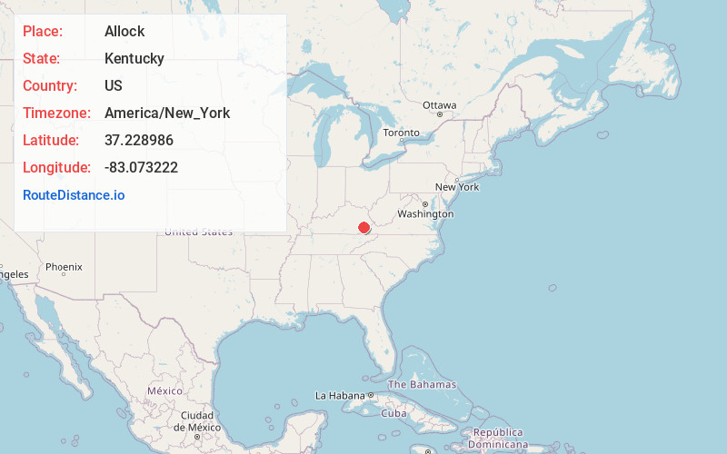
Allock
Kentucky
US
America/New_York
Location Information
-
Full AddressAllock, KY 41773
-
Coordinates37.2289856, -83.0732221
-
LocationAllock , Kentucky , US
-
TimezoneAmerica/New_York
-
Current Local Time12:12:40 PM America/New_YorkSaturday, May 3, 2025
-
Page Views0
Directions to Nearest Cities
About Allock
Allock is an unincorporated community and coal town in Perry County, Kentucky, United States. Its post office closed in 1995.
Nearby Places
Found 10 places within 50 miles

Vicco
1.1 mi
1.8 km
Vicco, KY
Get directions
Sassafras
1.1 mi
1.8 km
Sassafras, KY 41759
Get directions
Scuddy
1.8 mi
2.9 km
Scuddy, KY 41760
Get directions

Jeff
3.8 mi
6.1 km
Jeff, KY
Get directions
Diablock
5.4 mi
8.7 km
Diablock, KY 41701
Get directions
Carcassonne
5.8 mi
9.3 km
Carcassonne, KY 41804
Get directions

Hazard
6.8 mi
10.9 km
Hazard, KY
Get directions
Ulvah
7.1 mi
11.4 km
Ulvah, KY 41731
Get directions
Redfox
7.2 mi
11.6 km
Redfox, KY 41847
Get directions

Carrie
7.4 mi
11.9 km
Carrie, KY 41740
Get directions
Vicco
1.1 mi
1.8 km
Vicco, KY
Sassafras
1.1 mi
1.8 km
Sassafras, KY 41759
Scuddy
1.8 mi
2.9 km
Scuddy, KY 41760
Jeff
3.8 mi
6.1 km
Jeff, KY
Diablock
5.4 mi
8.7 km
Diablock, KY 41701
Carcassonne
5.8 mi
9.3 km
Carcassonne, KY 41804
Hazard
6.8 mi
10.9 km
Hazard, KY
Ulvah
7.1 mi
11.4 km
Ulvah, KY 41731
Redfox
7.2 mi
11.6 km
Redfox, KY 41847
Carrie
7.4 mi
11.9 km
Carrie, KY 41740
Location Links
Local Weather
Weather Information
Coming soon!
Location Map
Static map view of Allock, Kentucky
Browse Places by Distance
Places within specific distances from Allock
Short Distances
Long Distances
Click any distance to see all places within that range from Allock. Distances shown in miles (1 mile ≈ 1.61 kilometers).