Distance to and from Almelund, Minnesota
Almelund, MN 55012
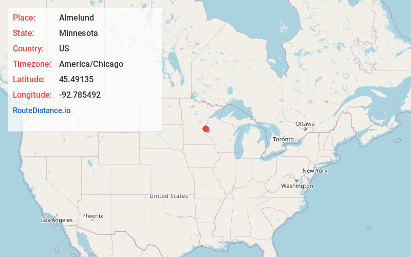
Almelund
Minnesota
US
America/Chicago
Location Information
-
Full AddressAlmelund, MN 55012
-
Coordinates45.49135, -92.7854919
-
LocationAlmelund , Minnesota , US
-
TimezoneAmerica/Chicago
-
Current Local Time3:43:29 PM America/ChicagoSaturday, May 3, 2025
-
Page Views0
Directions to Nearest Cities
About Almelund
Almelund is an unincorporated community in Amador Township, Chisago County, Minnesota, United States.
The community is located east of North Branch at the junction of State Highway 95 and Chisago County Road 12. Nearby places include North Branch, Center City, Sunrise, and Taylors Falls.

Nearby Places
Found 10 places within 50 miles

Palmdale
3.5 mi
5.6 km
Palmdale, MN 55074
Get directions
Kost
4.0 mi
6.4 km
Kost, MN 55056
Get directions
Sunrise
5.1 mi
8.2 km
Sunrise, MN 55056
Get directions
Wolf Creek
5.4 mi
8.7 km
Wolf Creek, WI 54024
Get directions
Eureka Center
6.7 mi
10.8 km
Eureka Center, WI 54024
Get directions

Center City
6.9 mi
11.1 km
Center City, MN
Get directions

Shafer
7.4 mi
11.9 km
Shafer, MN
Get directions

Lindstrom
7.7 mi
12.4 km
Lindstrom, MN
Get directions

Cushing
8.5 mi
13.7 km
Cushing, WI
Get directions

Taylors Falls
8.9 mi
14.3 km
Taylors Falls, MN 55084
Get directions
Palmdale
3.5 mi
5.6 km
Palmdale, MN 55074
Kost
4.0 mi
6.4 km
Kost, MN 55056
Sunrise
5.1 mi
8.2 km
Sunrise, MN 55056
Wolf Creek
5.4 mi
8.7 km
Wolf Creek, WI 54024
Eureka Center
6.7 mi
10.8 km
Eureka Center, WI 54024
Center City
6.9 mi
11.1 km
Center City, MN
Shafer
7.4 mi
11.9 km
Shafer, MN
Lindstrom
7.7 mi
12.4 km
Lindstrom, MN
Cushing
8.5 mi
13.7 km
Cushing, WI
Taylors Falls
8.9 mi
14.3 km
Taylors Falls, MN 55084
Location Links
Local Weather
Weather Information
Coming soon!
Location Map
Static map view of Almelund, Minnesota
Browse Places by Distance
Places within specific distances from Almelund
Short Distances
Long Distances
Click any distance to see all places within that range from Almelund. Distances shown in miles (1 mile ≈ 1.61 kilometers).