Distance to Alta, Illinois

Calculating Your Route
Just a moment while we process your request...
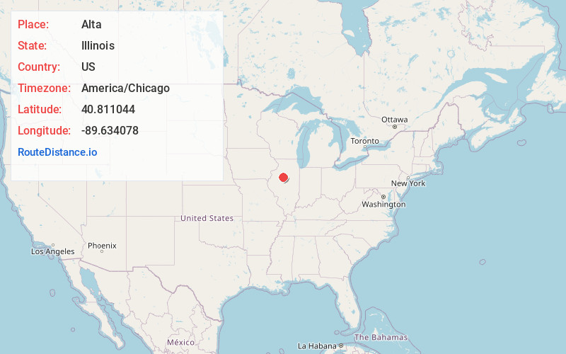
Location Information
-
Full AddressAlta, Peoria, IL 61615
-
Coordinates40.811044, -89.6340777
-
NeighborhoodAlta
-
LocationPeoria , Illinois , US
-
TimezoneAmerica/Chicago
-
Current Local Time6:40:29 AM America/ChicagoThursday, May 22, 2025
-
Page Views0
About Alta
Alta is an unincorporated community on the northwest border of Peoria in Peoria County, Illinois, United States. Alta is 8 miles north-northwest of downtown Peoria. The decommissioned Illinois State Route 174 runs through Alta, and the Rock Island Trail begins in Alta.
Nearby Places
Found 10 places within 50 miles

Mossville
3.5 mi
5.6 km
Mossville, IL
Get directions

Dunlap
4.2 mi
6.8 km
Dunlap, IL 61525
Get directions

Peoria Heights
5.4 mi
8.7 km
Peoria Heights, IL
Get directions

Spring Bay
5.9 mi
9.5 km
Spring Bay, IL 61611
Get directions
Bay View Gardens
6.0 mi
9.7 km
Bay View Gardens, IL 61611
Get directions
Norwood
8.0 mi
12.9 km
Norwood, IL 61604
Get directions
West Peoria
8.2 mi
13.2 km
West Peoria, IL
Get directions

Peoria
8.5 mi
13.7 km
Peoria, IL
Get directions

Rome
8.5 mi
13.7 km
Rome, IL
Get directions
Bellevue
9.1 mi
14.6 km
Bellevue, IL
Get directions
Location Links
Local Weather
Weather Information
Coming soon!
Location Map
Static map view of Alta, Illinois
Browse Places by Distance
Places within specific distances from Alta
Short Distances
Long Distances
Click any distance to see all places within that range from Alta. Distances shown in miles (1 mile ≈ 1.61 kilometers).