Distance to and from Alta, Utah
Alta, UT
Alta
Utah
US
America/Denver
Location Information
-
Full AddressAlta, UT
-
Coordinates40.5888394, -111.6379793
-
LocationAlta , Utah , US
-
TimezoneAmerica/Denver
-
Current Local Time5:03:44 PM America/DenverSaturday, May 3, 2025
-
Website
-
Page Views0
Directions to Nearest Cities
About Alta
Alta is a Utah town within the Wasatch Mountain Range, near Salt Lake City. It’s known for ski resorts with powder snow, including Alta Ski Area and nearby Snowbird. In the summer, wildflowers line trails in the Albion Basin, home to Cecret Lake, streams, moose and deer. The craggy ridges of American Fork Twin Peaks and Pfeifferhorn lie southwest. To the north, Big Cottonwood Canyon offers lakes and scenic trails.


Nearby Places
Found 10 places within 50 miles

Granite
8.1 mi
13.0 km
Granite, UT 84092
Get directions

Park City
8.3 mi
13.4 km
Park City, UT
Get directions

Cottonwood Heights
9.6 mi
15.4 km
Cottonwood Heights, UT
Get directions

Midway
10.2 mi
16.4 km
Midway, UT
Get directions

Snyderville
10.3 mi
16.6 km
Snyderville, UT 84098
Get directions

Sandy
10.7 mi
17.2 km
Sandy, UT
Get directions

Holladay
11.2 mi
18.0 km
Holladay, UT
Get directions

Alpine
11.9 mi
19.2 km
Alpine, UT 84004
Get directions

White City
12.0 mi
19.3 km
White City, UT 84094
Get directions

Draper
12.7 mi
20.4 km
Draper, UT
Get directions
Granite
8.1 mi
13.0 km
Granite, UT 84092
Park City
8.3 mi
13.4 km
Park City, UT
Cottonwood Heights
9.6 mi
15.4 km
Cottonwood Heights, UT
Midway
10.2 mi
16.4 km
Midway, UT
Snyderville
10.3 mi
16.6 km
Snyderville, UT 84098
Sandy
10.7 mi
17.2 km
Sandy, UT
Holladay
11.2 mi
18.0 km
Holladay, UT
Alpine
11.9 mi
19.2 km
Alpine, UT 84004
White City
12.0 mi
19.3 km
White City, UT 84094
Draper
12.7 mi
20.4 km
Draper, UT
Location Links
Local Weather
Weather Information
Coming soon!
Location Map
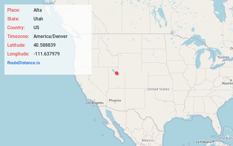
Static map view of Alta, Utah
Browse Places by Distance
Places within specific distances from Alta
Short Distances
Long Distances
Click any distance to see all places within that range from Alta. Distances shown in miles (1 mile ≈ 1.61 kilometers).