Distance to Altamont, North Carolina

Calculating Your Route
Just a moment while we process your request...
Location Information
-
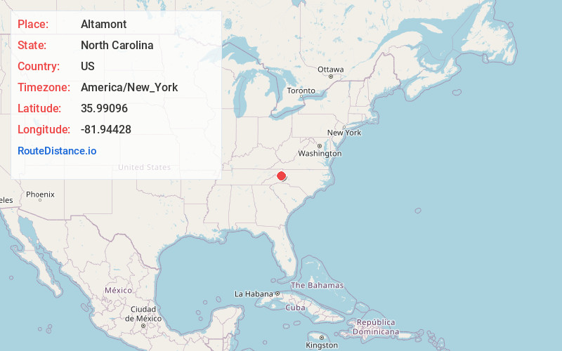
Full AddressAltamont, NC 28657
-
Coordinates35.9909604, -81.9442801
-
LocationAltamont , North Carolina , US
-
TimezoneAmerica/New_York
-
Current Local Time12:46:51 AM America/New_YorkWednesday, June 18, 2025
-
Page Views0
About Altamont
Altamont is an unincorporated community in Avery County, North Carolina, United States. The community is located along US 221/NC 194, between the town of Crossnore and the community of Linville Falls. Altamont translates to "High Mountain."
Nearby Places
Found 10 places within 50 miles

Stamey Town
1.0 mi
1.6 km
Stamey Town, NC 28657
Get directions
Three Mile
2.0 mi
3.2 km
Three Mile, NC 28657
Get directions
Pyatte
2.1 mi
3.4 km
Pyatte, NC 28657
Get directions

Linville Falls
2.2 mi
3.5 km
Linville Falls, NC 28752
Get directions

Crossnore
2.3 mi
3.7 km
Crossnore, NC 28657
Get directions

Jonas Ridge
3.0 mi
4.8 km
Jonas Ridge, NC 28657
Get directions

Pineola
3.9 mi
6.3 km
Pineola, NC 28657
Get directions
Ingalls
4.0 mi
6.4 km
Ingalls, NC 28657
Get directions

Plumtree
4.3 mi
6.9 km
Plumtree, NC 28657
Get directions
Hughes
4.9 mi
7.9 km
Hughes, NC 28657
Get directions
Location Links
Local Weather
Weather Information
Coming soon!
Location Map
Static map view of Altamont, North Carolina
Browse Places by Distance
Places within specific distances from Altamont
Short Distances
Long Distances
Click any distance to see all places within that range from Altamont. Distances shown in miles (1 mile ≈ 1.61 kilometers).