Distance to Linville Falls, North Carolina

Calculating Your Route
Just a moment while we process your request...
Location Information
-
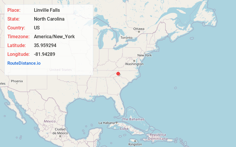
Full AddressLinville Falls, NC 28752
-
Coordinates35.9592936, -81.9428903
-
LocationLinville Falls , North Carolina , US
-
TimezoneAmerica/New_York
-
Current Local Time12:56:30 PM America/New_YorkFriday, May 30, 2025
-
Page Views0
About Linville Falls
Linville Falls is an unincorporated community located at the junction of Avery, Burke, and McDowell counties in the U.S. state of North Carolina. It is named after Linville Falls, a nearby waterfall in the Linville Gorge Wilderness.


Nearby Places
Found 10 places within 50 miles

Three Mile
2.7 mi
4.3 km
Three Mile, NC 28657
Get directions
Stamey Town
3.2 mi
5.1 km
Stamey Town, NC 28657
Get directions
Ingalls
3.9 mi
6.3 km
Ingalls, NC 28657
Get directions
Pyatte
4.0 mi
6.4 km
Pyatte, NC 28657
Get directions

Crossnore
4.4 mi
7.1 km
Crossnore, NC 28657
Get directions

Pineola
5.6 mi
9.0 km
Pineola, NC 28657
Get directions

Table Rock Mountain
5.8 mi
9.3 km
Table Rock Mountain, North Carolina 28655
Get directions

Plumtree
5.9 mi
9.5 km
Plumtree, NC 28657
Get directions

Spruce Pine
7.5 mi
12.1 km
Spruce Pine, NC 28777
Get directions
Montezuma
7.7 mi
12.4 km
Montezuma, NC 28657
Get directions
Location Links
Local Weather
Weather Information
Coming soon!
Location Map
Static map view of Linville Falls, North Carolina
Browse Places by Distance
Places within specific distances from Linville Falls
Short Distances
Long Distances
Click any distance to see all places within that range from Linville Falls. Distances shown in miles (1 mile ≈ 1.61 kilometers).