Distance to Alton, Iowa

Calculating Your Route
Just a moment while we process your request...
Location Information
-
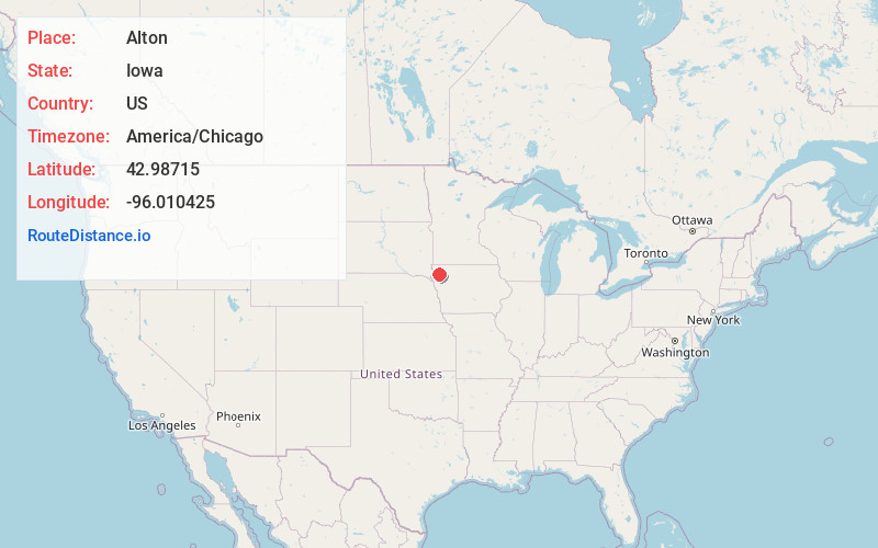
Full AddressAlton, IA 51003
-
Coordinates42.9871498, -96.0104247
-
LocationAlton , Iowa , US
-
TimezoneAmerica/Chicago
-
Current Local Time5:55:36 AM America/ChicagoTuesday, June 3, 2025
-
Page Views0
About Alton
Alton is a city in Sioux County, Iowa, United States, along the Floyd River. The population was 1,248 at the 2020 census.


Nearby Places
Found 10 places within 50 miles

Orange City
2.8 mi
4.5 km
Orange City, IA
Get directions

Sioux Center
10.5 mi
16.9 km
Sioux Center, IA 51250
Get directions

Remsen
12.2 mi
19.6 km
Remsen, IA 51050
Get directions

Hull
15.2 mi
24.5 km
Hull, IA 51239
Get directions

Le Mars
15.5 mi
24.9 km
Le Mars, IA 51031
Get directions

Sheldon
15.5 mi
24.9 km
Sheldon, IA 51201
Get directions

Rock Valley
20.8 mi
33.5 km
Rock Valley, IA 51247
Get directions

Sanborn
22.4 mi
36.0 km
Sanborn, IA 51248
Get directions

Hawarden
24.2 mi
38.9 km
Hawarden, IA 51023
Get directions

Kingsley
27.6 mi
44.4 km
Kingsley, IA 51028
Get directions
Location Links
Local Weather
Weather Information
Coming soon!
Location Map
Static map view of Alton, Iowa
Browse Places by Distance
Places within specific distances from Alton
Short Distances
Long Distances
Click any distance to see all places within that range from Alton. Distances shown in miles (1 mile ≈ 1.61 kilometers).