Distance to Alvada, Ohio

Calculating Your Route
Just a moment while we process your request...
Location Information
-
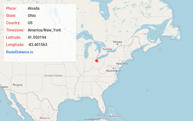
Full AddressAlvada, OH 44802
-
Coordinates41.0501939, -83.4015629
-
LocationAlvada , Ohio , US
-
TimezoneAmerica/New_York
-
Current Local Time2:38:26 AM America/New_YorkWednesday, June 25, 2025
-
Page Views0
About Alvada
Alvada is an unincorporated community in western Big Spring Township, Seneca County, Ohio, United States. It has a post office with the ZIP code 44802. It is located along the concurrency of U.S. Route 23 and State Route 199.
Nearby Places
Found 10 places within 50 miles

West Independence
2.8 mi
4.5 km
West Independence, OH 44830
Get directions

New Riegel
4.3 mi
6.9 km
New Riegel, OH 44853
Get directions
Adrian
5.3 mi
8.5 km
Adrian, OH 43316
Get directions
Berwick
5.6 mi
9.0 km
Berwick, OH 44853
Get directions

Vanlue
6.6 mi
10.6 km
Vanlue, OH 45890
Get directions

Carey
6.8 mi
10.9 km
Carey, OH 43316
Get directions
Arcadia
7.2 mi
11.6 km
Arcadia, OH 44804
Get directions

Fostoria
7.4 mi
11.9 km
Fostoria, OH 44830
Get directions
Bascom
8.4 mi
13.5 km
Bascom, OH
Get directions

McCutchenville
8.5 mi
13.7 km
McCutchenville, OH 44844
Get directions
Location Links
Local Weather
Weather Information
Coming soon!
Location Map
Static map view of Alvada, Ohio
Browse Places by Distance
Places within specific distances from Alvada
Short Distances
Long Distances
Click any distance to see all places within that range from Alvada. Distances shown in miles (1 mile ≈ 1.61 kilometers).