Distance to Alvarado, Virginia

Calculating Your Route
Just a moment while we process your request...
Location Information
-
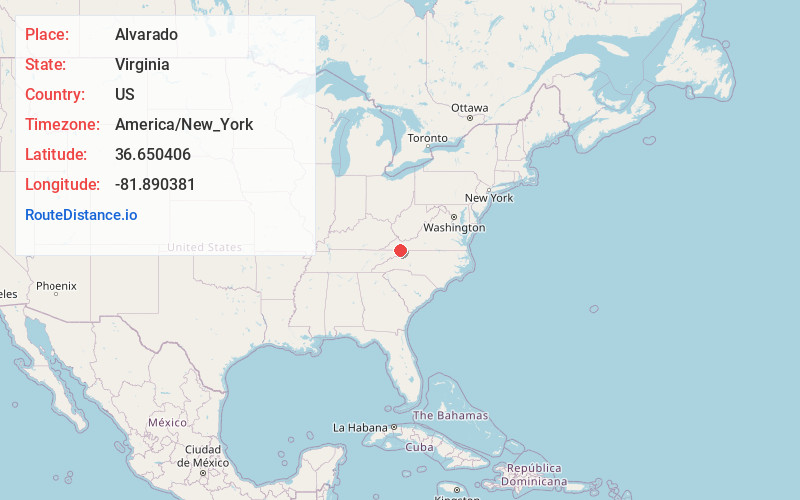
Full AddressAlvarado, VA 24211
-
Coordinates36.6504059, -81.890381
-
LocationAlvarado , Virginia , US
-
TimezoneAmerica/New_York
-
Current Local Time3:12:54 AM America/New_YorkTuesday, July 1, 2025
-
Page Views0
About Alvarado
Alvarado is an unincorporated community in Washington County, in the U.S. state of Virginia.
It is located along the South Fork Holston River on the north end of South Holston Lake, southwest of Osceola. It is part of the Virginia Creeper National Recreation Trail.


Nearby Places
Found 10 places within 50 miles

Delmar
1.8 mi
2.9 km
Delmar, VA 24236
Get directions
Osceola
2.2 mi
3.5 km
Osceola, VA 24211
Get directions
Drowning Ford
2.7 mi
4.3 km
Drowning Ford, VA 24236
Get directions
Watauga
3.1 mi
5.0 km
Watauga, VA 24211
Get directions
Offset
3.4 mi
5.5 km
Offset, TN 37620
Get directions
Roetown
3.5 mi
5.6 km
Roetown, VA 24236
Get directions
Parks Mill
3.8 mi
6.1 km
Parks Mill, VA 24211
Get directions
Neff
4.4 mi
7.1 km
Neff, VA 24361
Get directions
Vails Mill
4.5 mi
7.2 km
Vails Mill, VA 24236
Get directions
Sutherland
5.5 mi
8.9 km
Sutherland, TN 37688
Get directions
Location Links
Local Weather
Weather Information
Coming soon!
Location Map
Static map view of Alvarado, Virginia
Browse Places by Distance
Places within specific distances from Alvarado
Short Distances
Long Distances
Click any distance to see all places within that range from Alvarado. Distances shown in miles (1 mile ≈ 1.61 kilometers).