Distance to Amsden, Michigan

Calculating Your Route
Just a moment while we process your request...
Location Information
-
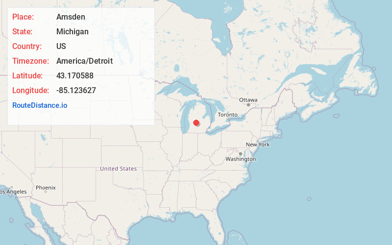
Full AddressAmsden, MI 48884
-
Coordinates43.1705875, -85.1236267
-
LocationAmsden , Michigan , US
-
TimezoneAmerica/Detroit
-
Current Local Time11:17:39 AM America/DetroitTuesday, June 3, 2025
-
Page Views0
Nearby Places
Found 10 places within 50 miles

Fenwick
2.6 mi
4.2 km
Fenwick, MI 48834
Get directions

Sheridan
3.8 mi
6.1 km
Sheridan, MI 48884
Get directions
Shiloh
4.9 mi
7.9 km
Shiloh, Orleans Township, MI 48865
Get directions

Sidney Township
5.2 mi
8.4 km
Sidney Township, MI
Get directions

Greenville
6.5 mi
10.5 km
Greenville, MI 48838
Get directions

Belding
7.3 mi
11.7 km
Belding, MI 48809
Get directions
Palo
8.0 mi
12.9 km
Palo, MI 48834
Get directions

Vickeryville
8.1 mi
13.0 km
Vickeryville, Bushnell Township, MI 48884
Get directions

Stanton
8.7 mi
14.0 km
Stanton, MI 48888
Get directions

Turk Lake
9.6 mi
15.4 km
Turk Lake, Montcalm Township, MI 48838
Get directions
Location Links
Local Weather
Weather Information
Coming soon!
Location Map
Static map view of Amsden, Michigan
Browse Places by Distance
Places within specific distances from Amsden
Short Distances
Long Distances
Click any distance to see all places within that range from Amsden. Distances shown in miles (1 mile ≈ 1.61 kilometers).