Distance to and from Amy, Kansas
Amy, KS 67839
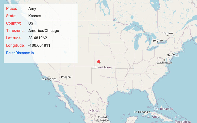
Amy
Kansas
US
America/Chicago
Location Information
-
Full AddressAmy, KS 67839
-
Coordinates38.4819617, -100.6018105
-
LocationAmy , Kansas , US
-
TimezoneAmerica/Chicago
-
Current Local Time12:25:54 PM America/ChicagoSaturday, May 3, 2025
-
Page Views0
Directions to Nearest Cities
About Amy
Amy is an unincorporated plains hamlet in Lane County, Kansas, United States, consisting presently of a large grain elevator and a house, and an abandoned school building.
Nearby Places
Found 10 places within 50 miles

Dighton
7.3 mi
11.7 km
Dighton, KS 67839
Get directions
Healy
8.2 mi
13.2 km
Healy, KS 67850
Get directions
Shields
12.5 mi
20.1 km
Shields, KS 67839
Get directions

Scott City
16.5 mi
26.6 km
Scott City, KS 67871
Get directions
Utica
25.9 mi
41.7 km
Utica, KS 67584
Get directions
Modoc
26.0 mi
41.8 km
Modoc, KS 67863
Get directions
Alanthus
27.9 mi
44.9 km
Alanthus, KS 67584
Get directions
Pence
28.1 mi
45.2 km
Pence, Beaver Township, KS 67871
Get directions
Marienthal
33.1 mi
53.3 km
Marienthal, KS 67863
Get directions

Gove City
33.5 mi
53.9 km
Gove City, KS 67736
Get directions
Dighton
7.3 mi
11.7 km
Dighton, KS 67839
Healy
8.2 mi
13.2 km
Healy, KS 67850
Shields
12.5 mi
20.1 km
Shields, KS 67839
Scott City
16.5 mi
26.6 km
Scott City, KS 67871
Utica
25.9 mi
41.7 km
Utica, KS 67584
Modoc
26.0 mi
41.8 km
Modoc, KS 67863
Alanthus
27.9 mi
44.9 km
Alanthus, KS 67584
Pence
28.1 mi
45.2 km
Pence, Beaver Township, KS 67871
Marienthal
33.1 mi
53.3 km
Marienthal, KS 67863
Gove City
33.5 mi
53.9 km
Gove City, KS 67736
Location Links
Local Weather
Weather Information
Coming soon!
Location Map
Static map view of Amy, Kansas
Browse Places by Distance
Places within specific distances from Amy
Short Distances
Long Distances
Click any distance to see all places within that range from Amy. Distances shown in miles (1 mile ≈ 1.61 kilometers).