Distance to Andrews, North Carolina

Calculating Your Route
Just a moment while we process your request...
Location Information
-
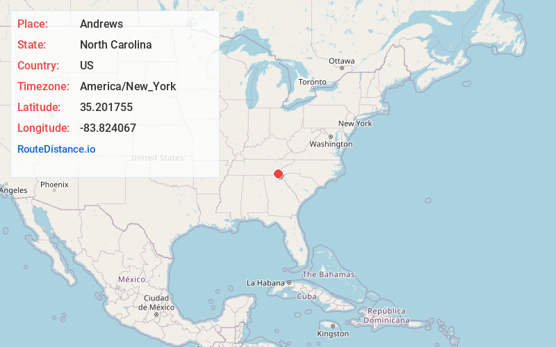
Full AddressAndrews, NC 28901
-
Coordinates35.2017549, -83.8240667
-
LocationAndrews , North Carolina , US
-
TimezoneAmerica/New_York
-
Current Local Time5:26:51 AM America/New_YorkWednesday, June 18, 2025
-
Website
-
Page Views0
About Andrews
Andrews is a town in Cherokee County, North Carolina, United States. The population was 1,667 at the 2020 census.


Nearby Places
Found 10 places within 50 miles

Franklin
25.0 mi
40.2 km
Franklin, NC 28734
Get directions

Clayton
32.8 mi
52.8 km
Clayton, GA 30525
Get directions

Sylva
36.5 mi
58.7 km
Sylva, NC 28779
Get directions

Cullowhee
37.3 mi
60.0 km
Cullowhee, NC 28723
Get directions

Madisonville
37.5 mi
60.4 km
Madisonville, TN 37354
Get directions

Maryville
39.2 mi
63.1 km
Maryville, TN
Get directions

Gatlinburg
39.6 mi
63.7 km
Gatlinburg, TN 37738
Get directions

Etowah
40.4 mi
65.0 km
Etowah, TN
Get directions

Eagleton Village
41.4 mi
66.6 km
Eagleton Village, TN 37804
Get directions

Alcoa
41.5 mi
66.8 km
Alcoa, TN
Get directions
Location Links
Local Weather
Weather Information
Coming soon!
Location Map
Static map view of Andrews, North Carolina
Browse Places by Distance
Places within specific distances from Andrews
Short Distances
Long Distances
Click any distance to see all places within that range from Andrews. Distances shown in miles (1 mile ≈ 1.61 kilometers).